Coastal Impacts, Adaptation, and Vulnerabilities - Climate ...
Coastal Impacts, Adaptation, and Vulnerabilities - Climate ...
Coastal Impacts, Adaptation, and Vulnerabilities - Climate ...
You also want an ePaper? Increase the reach of your titles
YUMPU automatically turns print PDFs into web optimized ePapers that Google loves.
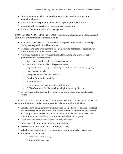
Information Gaps <strong>and</strong> Science Needed to Support Sustainable Coasts 123• Definitions to establish a common language to discuss climate impacts <strong>and</strong>adaptation strategies;• Tools to educate the public on the science, impacts, probability, <strong>and</strong> risk;• Guidance <strong>and</strong> best practices for the planning process; <strong>and</strong>• Tools for facilitation <strong>and</strong> conflict management.Monitoring <strong>and</strong> MODELING Tools. Tools for monitoring <strong>and</strong> modeling current<strong>and</strong> future environmental conditions include:• Estimates of sea-level rise that are useful at regional <strong>and</strong> local levels for comparabilityacross jurisdictional boundaries;• St<strong>and</strong>ards <strong>and</strong> data architecture to integrate existing databases of observationsof water levels <strong>and</strong> other relevant data;• Advanced models to improve scientific underst<strong>and</strong>ing <strong>and</strong> allow for betterquantification of uncertainities:−−Storm surge models with wave measurements;−−Advanced climate <strong>and</strong> earth-system models;−−Improved estimates of past <strong>and</strong> projected future climate-forcing agents;−−Geomorphic models;−−Geospatial models for sea-level rise;−−Flooding/inundation models;−−Habitat models;−−Long-term erosion <strong>and</strong> accretion models; <strong>and</strong>−−El Niño Southern Oscillation/climatological impact projections.• Downscaling techniques for these models for use in regional or smaller scalescenarios.Visualization <strong>and</strong> SCENARIO-BUILDING Tools. The tools that would helpcommunities identify <strong>and</strong> explore alternative adaptation solutions include:• Visualizations using familiar viewers such as Google Earth for different sea-levelrise, storm frequency, <strong>and</strong> inundation scenarios that are interactive, offer planar<strong>and</strong> oblique views, <strong>and</strong> show critical infrastructure, relevant l<strong>and</strong>marks, <strong>and</strong>other information that allows communities to underst<strong>and</strong> impacts;• Definitions <strong>and</strong> analysis of economic impacts <strong>and</strong> loss;• Conversions of vulnerability into risk information;• Assessments of economic, social, <strong>and</strong> physical risk;• Valuations of ecosystem services in monetary <strong>and</strong> nonmonetary terms; <strong>and</strong>• Scenario evaluations that:−−Identify key assumptions;−−Test alternative outcomes;


