

Download the Tutorial
Download the Tutorial
Download the Tutorial

You also want an ePaper? Increase the reach of your titles
YUMPU automatically turns print PDFs into web optimized ePapers that Google loves.
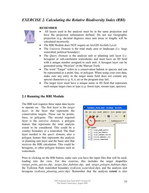
EXERCISE 2. Calculating <strong>the</strong> Relative Biodiversity Index (RBI)REMEMBER• All layers used in <strong>the</strong> analysis must be in <strong>the</strong> same projection andhave <strong>the</strong> projection information defined. Do not use Geographicprojection (e.g. decimal degrees) since unit areas or lengths will becalculated incorrectly.• The RBI Module does NOT require an ArcGIS ArcInfo Level.• The Universe Domain is <strong>the</strong> total study area or landscape (i.e. largewatershed, political boundary)• The Query Domain is <strong>the</strong> analysis unit or planning unit layer (i.e.hexagons or sub-catchment watersheds) and must have an ID fieldwith a unique number assigned to each unit. A hexagon layer can begenerated using “HexGen” in <strong>the</strong> Marxan Tools.• The word “Target” refers to a conservation habitat or species and canbe represented as a point, line, or polygon. When using your own data,make sure any entry in <strong>the</strong> target name field does not contain anyspecial characters (e.g. ñ, ó, œ) or <strong>the</strong> program may fail.• The target layer must have a unique name or ID field that representseach unique target class or type (e.g. forest type, stream type, species).2.1 Running <strong>the</strong> RBI ModuleThe RBI tool requires three input data layersto operate on. The first layer is <strong>the</strong> targetlayer, or <strong>the</strong> layer that represents <strong>the</strong>conservation targets. These can be points,lines, or polygons. The second requiredlayer is <strong>the</strong> universe domain, a polygonfeature that represents <strong>the</strong> total analysisextent to be considered. This could be acountry boundary or a watershed. The finallayer needed is <strong>the</strong> query domain, also apolygon feature that represents <strong>the</strong> analysisor planning unit layer and <strong>the</strong> basic unit thatreceives <strong>the</strong> RBI calculation. This could behexagons, or o<strong>the</strong>r polygon features such aswatersheds.Prior to clicking on <strong>the</strong> RBI button, make sure you have <strong>the</strong> input files that will be used,loading into <strong>the</strong> view. For this exercise, this includes <strong>the</strong> target shapefiles(target_point_species.shp, target_line_habitats.shp, and target_polygon_habitats.shp);<strong>the</strong> Tydixton Park watershed boundary (tydixton_watershed.shp); and <strong>the</strong> analysis uni<strong>the</strong>xagons (tydixton_planning_units.shp). Remember that <strong>the</strong> analysis extent is alsoTNC Protected Area Tools (PAT) Version 3.0The Nature Conservancy, August 200935


