Download the Tutorial
Download the Tutorial
Download the Tutorial
Create successful ePaper yourself
Turn your PDF publications into a flip-book with our unique Google optimized e-Paper software.
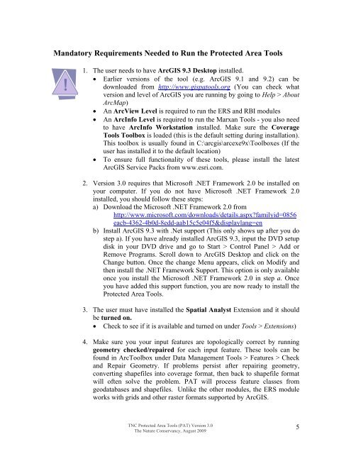
Mandatory Requirements Needed to Run <strong>the</strong> Protected Area Tools1. The user needs to have ArcGIS 9.3 Desktop installed.• Earlier versions of <strong>the</strong> tool (e.g. ArcGIS 9.1 and 9.2) can bedownloaded from http://www.gispatools.org (You can check whatversion and level of ArcGIS you are running by going to Help > AboutArcMap)• An ArcView Level is required to run <strong>the</strong> ERS and RBI modules• An ArcInfo Level is required to run <strong>the</strong> Marxan Tools - you also needto have ArcInfo Workstation installed. Make sure <strong>the</strong> CoverageTools Toolbox is loaded (this is <strong>the</strong> default setting during installation).This toolbox is usually found in C:\arcgis\arcexe9x\Toolboxes (If <strong>the</strong>user has installed it to <strong>the</strong> default location)• To ensure full functionality of <strong>the</strong>se tools, please install <strong>the</strong> latestArcGIS Service Packs from www.esri.com.2. Version 3.0 requires that Microsoft .NET Framework 2.0 be installed onyour computer. If you do not have Microsoft .NET Framework 2.0installed, you should follow <strong>the</strong>se steps:a) <strong>Download</strong> <strong>the</strong> Microsoft .NET Framework 2.0 fromhttp://www.microsoft.com/downloads/details.aspx?familyid=0856eacb-4362-4b0d-8edd-aab15c5e04f5&displaylang=enb) Install ArcGIS 9.3 with .Net support (This only shows up after you dostep a). If you have already installed ArcGIS 9.3, input <strong>the</strong> DVD setupdisk in your DVD drive and go to Start > Control Panel > Add orRemove Programs. Scroll down to ArcGIS Desktop and click on <strong>the</strong>Change button. Once <strong>the</strong> change Menu appears, click on Modify and<strong>the</strong>n install <strong>the</strong> .NET Framework Support. This option is only availableonce you install <strong>the</strong> Microsoft .NET Framework 2.0 in step a. Onceyou have added this support function, you are now ready to install <strong>the</strong>Protected Area Tools.3. The user must have installed <strong>the</strong> Spatial Analyst Extension and it shouldbe turned on.• Check to see if it is available and turned on under Tools > Extensions)4. Make sure you your input features are topologically correct by runninggeometry checked/repaired for each input feature. These tools can befound in ArcToolbox under Data Management Tools > Features > Checkand Repair Geometry. If problems persist after repairing geometry,converting shapefiles into coverage format, <strong>the</strong>n back to shapefile formatwill often solve <strong>the</strong> problem. PAT will process feature classes fromgeodatabases and shapefiles. Unlike <strong>the</strong> o<strong>the</strong>r modules, <strong>the</strong> ERS moduleworks with grids and o<strong>the</strong>r raster formats supported by ArcGIS.TNC Protected Area Tools (PAT) Version 3.0The Nature Conservancy, August 20095


