4. Block Definition File (block.dat) OPTIONALThis optional file can be used to group targets toge<strong>the</strong>r or to use <strong>the</strong> facility thatallows <strong>the</strong> goal to be set as a proportion without calculating <strong>the</strong> actual amount inarea, length or number of occurrences. When using this file, <strong>the</strong> type of eachtarget must be set in <strong>the</strong> spec.dat file. If no grouping is necessary, <strong>the</strong> type namescan remain <strong>the</strong> same as <strong>the</strong> target id. If you are using a block definition file, it ishighly recommended that you read Game and Grantham (2008) to gain a betterunderstanding of how this file works. The contents of this file are:type targe t target2 targetocc sepnum sepdistance prop spf<strong>the</strong> typeTheMini mum The number Target MinimumAn Thefor whichgoal clump ofnumber distance at alternativepenalty<strong>the</strong> o<strong>the</strong>rfor <strong>the</strong> size. If a occurrences of which to target. factorattributestarget clump of a of <strong>the</strong> target mutually planning This is <strong>the</strong> for thatare of <strong>the</strong> number of required. separated units proportiontarget.DEFAULTdefined given planningThis can be planning holding <strong>the</strong> of <strong>the</strong>(-1)CRITICALtype. units with used in units in target are totalDEFAULT(-1) <strong>the</strong> given conjunction valid considered amount oftarget is with or clumps. to be <strong>the</strong> targetDEFAULT (-1)below this instead ofseparated. whichDEFAULT (-1)size <strong>the</strong>n it ‘target’.must beDEFAULT (-1)does notpreserved.count(N/A)toward <strong>the</strong>goal.DEFAULT (-1)The values are separated by commas. The file structure looks like:type,target,target2,targetocc,sepnum,sepdistance,prop,spf1,-1,-1,-1,-1,-1,0.25,100002,-1,-1,-1,-1,-1,0.30,100005. Boundary Length File (bound.dat) OPTIONALThe boundary length file contains information on <strong>the</strong> boundary costs of adjacentplanning units. Although this is an optional file, it is highly recommended to usesince it helps set <strong>the</strong> level of fragmentation in <strong>the</strong> solution. Whereas this cost istypically <strong>the</strong> actual length of <strong>the</strong> boundary it can be modified to a ‘cost’ or‘effective length’ value to takeinto account boundaries that are particularlydesirable or undesirable. Bound.dat can be created automatically using <strong>the</strong>Marxan Input Generator. This table can have tabs or commas between <strong>the</strong>columns. If you see repeating PU ids in <strong>the</strong> bound file - <strong>the</strong>se are "edge" planningunits and repeating <strong>the</strong>m in <strong>the</strong> bound.dat file helps to avoid bias in <strong>the</strong> BLMbecause <strong>the</strong>y have shorter 'shared' boundaries. It is not necessary to specifyboundary lengths for all planning units (where <strong>the</strong>y are not specified, Marxan willassume <strong>the</strong>re is no boundary between planning units). However any missingvalues within <strong>the</strong> file will prevent Marxan from running, for instance if ‘id1’ andTNC Protected Area Tools (PAT) Version 3.0The Nature Conservancy, August 200954
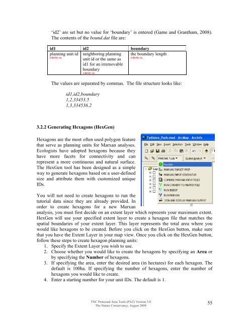
‘id2’ are set but no value for ‘boundary’ is entered (Game and Grantham, 2008).The contents of <strong>the</strong> bound.dat file are:id1 id2 boundaryplanning unit id neighboring planning <strong>the</strong> boundary lengthCRITICALCRITICALunit id or <strong>the</strong> same asid1 for an irremovableboundaryCRITICALThe values are separated by commas. The file structure looks like:id1,id2,boundary1,2,33453.51,3,334536.23.2.2 Gene rating Hexagons (HexGen)Hexagons are <strong>the</strong> m ost often used polygon featurethat serve as planning units for Marxan analyses.Ecologists have adopted hexagons because <strong>the</strong>yhave more facets for connectivity and canrepresent a more continuous and natural surface.The HexGen tool has been designed as a simpleway to generate hexagons based on a user-definedsize and attribute <strong>the</strong>m with customized uniqueIDs.You will not need to create hexagons to run <strong>the</strong>tutorial data since <strong>the</strong>y are already provided. Inorder to create hexagons for a new Marxananalysis, you must first decide on an extent layer which repreents your maximum extent.HexGen will use your specified extent layer to create a hexagon file that matches <strong>the</strong>spatial boundaries of your extent layer. This layer represents <strong>the</strong> total area where youwould like hexagons to be created. Before you click on <strong>the</strong> HexGen button, make surethat you have <strong>the</strong> Extent Layer in your map view. Once you click on <strong>the</strong> HexGen button,follow <strong>the</strong>se steps to create hexagon planning units:1. Specify <strong>the</strong> Extent Layer you wish to use.2. Choose whe<strong>the</strong>r you would like to create <strong>the</strong> hexagons by specifying an Area orby specifying <strong>the</strong> Number of hexagons.3. If specifying <strong>the</strong> area, enter <strong>the</strong> desired area (in hectares) for each hexagon. Thedefault is 100ha. If specifying <strong>the</strong> number of hexagons, enter <strong>the</strong> number ofhexagons you would like to create.4. Enter a starting number for your unit IDs. The default is 1.TNC Protected Area Tools (PAT) Version 3.0The Nature Conservancy, August 200955