

Download the Tutorial
Download the Tutorial
Download the Tutorial

You also want an ePaper? Increase the reach of your titles
YUMPU automatically turns print PDFs into web optimized ePapers that Google loves.
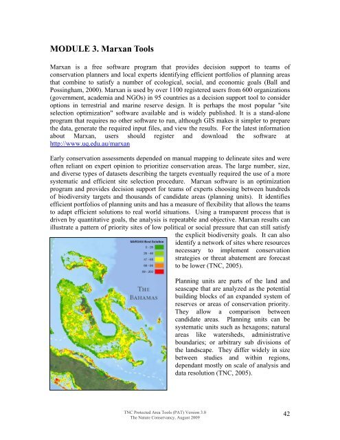
MODULE 3. Marxan ToolsMarxan is a free software program that provides decision support to teams ofconservation planners and local experts identifying efficient portfolios of planning areasthat combine to satisfy a number of ecological, social, and economic goals (Ball andPossingham, 2000). Marxan is used by over 1100 registered users from 600 organizations(government, academia and NGOs) in 95 countries as a decision support tool to consideroptions in terrestrial and marine reserve design. It is perhaps <strong>the</strong> most popular "siteselection optimization" software available and is widely published. It is a stand-aloneprogram that requires no o<strong>the</strong>r software to run, although GIS makes it simpler to prepare<strong>the</strong> data, generate <strong>the</strong> required input files, and view <strong>the</strong> results. For <strong>the</strong> latest informationabout Marxan, users should register and download <strong>the</strong> software athttp://www.uq.edu.au/marxanEarly conservation assessments depended on manual mapping to delineate sites and wereoften reliant on expert opinion to prioritize conservation areas. The large number, size,and diverse types of datasets describing <strong>the</strong> targets eventually required <strong>the</strong> use of a moresystematic and efficient site selection procedure. Marxan software is an optimizationprogram and provides decision support for teams of experts choosing between hundredsof biodiversity targets and thousands of candidate areas (planning units). It identifiesefficient portfolios of planning units and has a measure of flexibility that allows <strong>the</strong> teamsto adapt efficient solutions to real world situations. Using a transparent process that isdriven by quantitative goals, <strong>the</strong> analysis is repeatable and objective. Marxan results canillustrate a pattern of priority sites of low political or social pressure that can still satisfy<strong>the</strong> explicit biodiversity goals. It can alsoidentify a network of sites where resourcesnecessary to implement conservationstrategies or threat abatement are forecastto be lower (TNC, 2005).Planning units are parts of <strong>the</strong> land andseascape that are analyzed as <strong>the</strong> potentialbuilding blocks of an expanded system ofreserves or areas of conservation priority.They allow a comparison betweencandidate areas. Planning units can besystematic units such as hexagons; naturalareas like watersheds, administrativeboundaries; or arbitrary sub divisions of<strong>the</strong> landscape. They differ widely in sizebetween studies and within regions,dependant mostly on scale of analysis anddata resolution (TNC, 2005).TNC Protected Area Tools (PAT) Version 3.0The Nature Conservancy, August 200942


