

mag

Create successful ePaper yourself
Turn your PDF publications into a flip-book with our unique Google optimized e-Paper software.
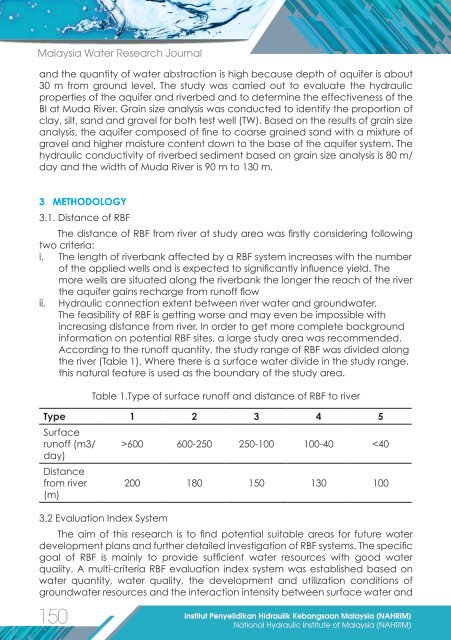
Malaysia Water Research Journal<br />
and the quantity of water abstraction is high because depth of aquifer is about<br />
30 m from ground level. The study was carried out to evaluate the hydraulic<br />
properties of the aquifer and riverbed and to determine the effectiveness of the<br />
BI at Muda River. Grain size analysis was conducted to identify the proportion of<br />
clay, silt, sand and gravel for both test well (TW). Based on the results of grain size<br />
analysis, the aquifer composed of fine to coarse grained sand with a mixture of<br />
gravel and higher moisture content down to the base of the aquifer system. The<br />
hydraulic conductivity of riverbed sediment based on grain size analysis is 80 m/<br />
day and the width of Muda River is 90 m to 130 m.<br />
3 METHODOLOGY<br />
3.1. Distance of RBF<br />
The distance of RBF from river at study area was firstly considering following<br />
two criteria:<br />
i. The length of riverbank affected by a RBF system increases with the number<br />
of the applied wells and is expected to significantly influence yield. The<br />
more wells are situated along the riverbank the longer the reach of the river<br />
the aquifer gains recharge from runoff flow<br />
ii. Hydraulic connection extent between river water and groundwater.<br />
The feasibility of RBF is getting worse and may even be impossible with<br />
increasing distance from river. In order to get more complete background<br />
information on potential RBF sites, a large study area was recommended.<br />
According to the runoff quantity, the study range of RBF was divided along<br />
the river (Table 1). Where there is a surface water divide in the study range,<br />
this natural feature is used as the boundary of the study area.<br />
150<br />
Table 1.Type of surface runoff and distance of RBF to river<br />
Type 1 2 3 4 5<br />
Surface<br />
runoff (m3/<br />
day)<br />
Distance<br />
from river<br />
(m)<br />
3.2 Evaluation Index System<br />
>600 600-250 250-100 100-40