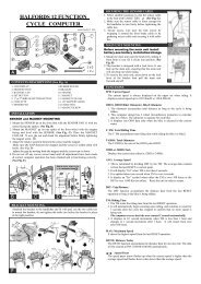
Download instructions here - Halfords
Download instructions here - Halfords
Download instructions here - Halfords

Create successful ePaper yourself
Turn your PDF publications into a flip-book with our unique Google optimized e-Paper software.
Tap the icon again to enter Overview mode. This mode looks similar to the North-up<br />
mode with one difference: the zoom level in this mode has a fixed default to give you<br />
a better look of w<strong>here</strong> you are on the map. You can change the zoom level at any<br />
time, this will not cause the Follow button to appear, but when entering Overview<br />
mode later, the default zoom level will be restored.<br />
The arrow representing your position will be fixed in the middle of the screen. When<br />
you move the map in Overview mode, the Follow button will appear, and when<br />
pushed, it will move the map to have your current position in the middle of the map<br />
again.<br />
You cannot rotate the map in Overview mode. This mode is strictly north-up.<br />
You can set up Navsure so that it will switch to Overview mode during navigation<br />
when the next turn is far away. You can specify this distance and the fixed zoom<br />
level of Overview in Advanced settings .<br />
An aeroplane icon indicates Overview mode.<br />
Tap the icon again to return to Track-up (automatic rotation) mode.<br />
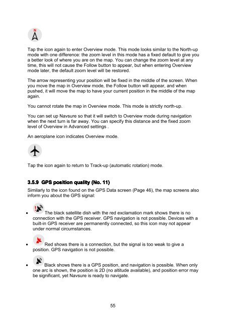
3.5.9 GPS position quality (No. 11)<br />
Similarly to the icon found on the GPS Data screen (Page 46), the map screens also<br />
inform you about the GPS signal:<br />
• The black satellite dish with the red exclamation mark shows t<strong>here</strong> is no<br />
connection with the GPS receiver. GPS navigation is not possible. Devices with a<br />
built-in GPS receiver are permanently connected, so this icon may not appear<br />
under normal circumstances.<br />
• Red shows t<strong>here</strong> is a connection, but the signal is too weak to give a<br />
position. GPS navigation is not possible.<br />
• Black shows t<strong>here</strong> is a GPS position, and navigation is possible. When only<br />
one arc is shown, the position is 2D (no altitude available), and position error may<br />
be significant, yet Navsure is ready to navigate.<br />
55