
You also want an ePaper? Increase the reach of your titles
YUMPU automatically turns print PDFs into web optimized ePapers that Google loves.
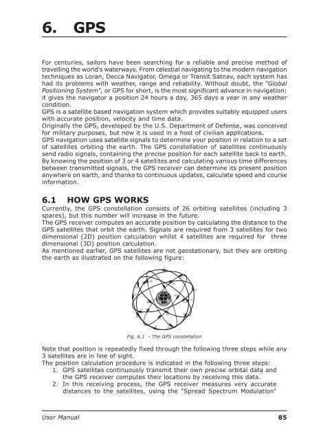
6. GPSFor centuries, sailors have been searching for a reliable and precise method oftravelling the world's waterways. From celestial navigating to the modern navigationtechniques as Loran, Decca Navigator, Omega or Transit Satnav, each system hashad its problems with weather, range and reliability. Without doubt, the "GlobalPositioning System", or GPS for short, is the most significant advance in navigation:it gives the navigator a position 24 hours a day, 365 days a year in any weathercondition.GPS is a satellite based navigation system which provides suitably equipped userswith accurate position, velocity and time data.Originally the GPS, developed by the U.S. Department of Defense, was conceivedfor military purposes, but now it is used in a host of civilian applications.GPS navigation uses satellite signals to determine your position in relation to a setof satellites orbiting the earth. The GPS constellation of satellites continuouslysend radio signals, containing the precise position for each satellite back to earth.By knowing the position of 3 or 4 satellites and calculating various time differencesbetween transmitted signals, the GPS receiver can determine its present positionanywhere on earth, and thanks to continuous updates, calculate speed and courseinformation.6.1 HOW GPS WORKSCurrently, the GPS constellation consists of 26 orbiting satellites (including 3spares), but this number will increase in the future.The GPS receiver computes an accurate position by calculating the distance to theGPS satellites that orbit the earth. Signals are required from 3 satellites for twodimensional (2D) position calculation whilst 4 satellites are required for threedimensional (3D) position calculation.As mentioned earlier, GPS satellites are not geostationary, but they are orbitingthe earth as illustrated on the following figure:7215215101819420161317 38114 9611Fig. 6.1 - The GPS constellationNote that position is repeatedly fixed through the following three steps while any3 satellites are in line of sight.The position calculation procedure is indicated in the following three steps:1. GPS satellites continuously transmit their own precise orbital data andthe GPS receiver computes their locations by receiving this data.2. In this receiving process, the GPS receiver measures very accuratedistances to the satellites, using the "Spread Spectrum Modulation"<strong>User</strong> <strong>Manual</strong>85