

ABSTRACTS / RESUMES - Comitato Glaciologico Italiano
ABSTRACTS / RESUMES - Comitato Glaciologico Italiano
ABSTRACTS / RESUMES - Comitato Glaciologico Italiano

You also want an ePaper? Increase the reach of your titles
YUMPU automatically turns print PDFs into web optimized ePapers that Google loves.
ZECHUN LIU 1, YONGJIN WANG 1 & XUESONG LI 2<br />
Changes of the palaeolake shoreline of the central Qaidam<br />
Lacustrine Basin in the arid area ofwestern China<br />
1 Department of Geography, Nanjing Normal Uni.,<br />
Nanjing 210097, China<br />
2 Department de Physique.Universite Catholique,<br />
Chemin du cyclotron,&, B-1348, Louvain-La-Neuve, Belgique<br />
The QaidamBasin, located on the northeastern Tibet Plateau<br />
in western China, is a great arid lacustrine basin. The<br />
lacustrin basin is about 2800 m above sea level and it co ..<br />
vers an area of approximately 121,000 krn", with lot of dispersed<br />
salt lakes and vast salt march and salt desert. Detailed<br />
basin analysis has proved that the center of subsidence,<br />
i.e. palaeolacustrine basin, in the basin was not sta ..<br />
tionary during its entire history.It was initially in the west<br />
of the basin during the Tertiary period, towards the end of<br />
this period (Pliocene), this center of subsidence moved to<br />
east, and during the Quaternary this center of subsidence<br />
moved further eastwards to the Threee-lake area in the<br />
middle of the basin where the thickness of materials accumulated<br />
during this time is in the range of 2000-3000 m.<br />
According to the results of boundary ages determined palaeomagnetically<br />
and deposition rates of the typical facies<br />
obtained by sedimentological analysis, the correlation, subdivision<br />
and geochronological system of Quaternary deposits<br />
with 30QOm thick in central Qaidam Basin has been<br />
established on basis of the biostratigraphic correlation.<br />
The Olduvai event and the M/G boundary are separately<br />
at depth of 880-710 m in Se Zhong-6 BH(bore hole) and<br />
the depth of 1460m in SeShen-1 BH.The yearly rate of accumulation<br />
is obtained for the following typical facies: 1)<br />
semi-deep lake facies, 0.45 mm/yr.; 2) shallow lake facies,<br />
1.03mm/yr.; 3) lake shore facies, 1.28mm/yr.; 4) lake basin<br />
bog facies, 0.94mm/yr.; and 5) delta facies, 0.90 mm/yr.<br />
The analysis of climatical indicators, including lithology,<br />
palynology, cr content, 5 18 0 and so on indicates that the<br />
Qaidam Basin has been generally becoming drier and drier,<br />
with climatical fluctuations obviously controlled by the periodic<br />
changes of eccentricity of the earth orbit. In glacial,<br />
the ancient Qaidam lake tended to expand and climate was<br />
relatively humid. In interglacial, however, the lake tended<br />
to contract and climate was relatively dry. However tectonics<br />
is the critical factor controlling general developing<br />
trend of the Qaidam lake basin. On the basis of analysis of<br />
vertical facies of long cores, the paleolake's evolution of<br />
Qaidam Basin can be divided into three stages as follow: a)<br />
In the interval between 3.05 Ma B.P. and 1.95 Ma B.P.,the<br />
transgression were developed gradually; b) Transgression<br />
of lake happened widely from 1.95 Ma B.P.,especially after<br />
1.35 Ma B.P.,the lake enlarge and deepen in water depth;<br />
c) Beginning with 1.00Ma B.P.,the lake contracted remarkably.<br />
Both the south shoreline and north shoreline<br />
moved a distance of 25 km to center of lake.<br />
Present geomorphy of the lacustrin basin of the central<br />
Qaidam Basin has been gradully developed after the re-<br />
gression of the palaeolake shoreline in the central basin.<br />
The large lacustrine basin of the central Qaidam Basin has<br />
been separated into several salt lakes by the neotectonic<br />
movement and the underground deformation of structure<br />
during the late Pleistocene and by the climate becoming<br />
most drier during the Holocene.<br />
ALEJANDRO LOMOSCHITZ 1<br />
& JORDI COROMINAS 2<br />
Analysis of the evolution of the landslides using<br />
geomorphologic criteria. Applicability to the<br />
Barranco de Tirajana basin (Gran Canaria, Spain)<br />
1<br />
Departamento de Ingenieria Civil, Universidad de Las Palmas de G.C.,<br />
Campus de Tafira, 35017 Las Palmas, Spain<br />
2 Departament d'Enginyeria del Terreny, E.T.S. Enginyers de Camins,<br />
C y P., Universitat Politecnica de Catalunya, cl Gran Capita sin,<br />
08034 Barcelona, Spain<br />
The Barranco de Tirajana is located SE of Gran Canaria<br />
island. The role of the mass movements in shaping this basin<br />
has only been acknowledged very recently. Former<br />
theories suggested either a volcanic origin or a tectonic<br />
one. Since 1968 only the erosive genesis has been found<br />
feasible.<br />
Up to 28 large rotational and translational landslides were<br />
identified whithin the basin, some of them over 1 km' (Lomoschitz<br />
& Corominas, 1992). Three different stages have<br />
been marked out in the landslide evolution (fig. 1). The<br />
most active period triggering landslides corresponds to the<br />
interval between 0.6 and 0.125 my ag0 (Middle Pleistocene)<br />
and redates the ages of the landslides that were formerly<br />
considered as starting 3.4 my ago (Itge, 1990). Most<br />
ofthe landslides are inactive at present. Recent activity is<br />
due to reactivation of the foot of a large ancient landslide<br />
in the Rosiana area, where four historic events have been<br />
recorded in 1879, 1921, 1923 and 1956 (Lomoschitz,<br />
1995).<br />
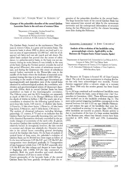
MAIN STAGES<br />
I. ANCIENTLANDSLIDES<br />
II. OLD LANDSLIDES<br />
III. RECENTI PRESENTLANDSLIDES<br />
Figure 1.<br />
GEOMORPHOLOGIC CRITERIA<br />
- Bedrockappears below.<br />
- Hummockysurfacesand veryeroded zones.<br />
- Largegrabens filledwith deposits.<br />
• High weatheredrock masses, clay-siltrich matrix.<br />
- Middle Pleistocene« 0.6 my.).<br />
- Welldevelopedscarpmentsand tilted bodiesquite<br />
unweathered.<br />
• Grabenspartly coveredwith scree deposits.<br />
- Obturationdeposits> 51.700 y. HP.<br />
• Middle- upper?Pleistocene.<br />
• Wellpreserved forms, present drainage network<br />
invadedby landslides,clearlydefinedboundaries.<br />
- Small landslideslocatedat the valleybottom,<br />
,. The increaseofbed load causesbraided river channels.<br />
- Activelandslidesin Rosianaarea. open scars, tilted<br />
trees,etc.<br />
253


