

ABSTRACTS / RESUMES - Comitato Glaciologico Italiano
ABSTRACTS / RESUMES - Comitato Glaciologico Italiano
ABSTRACTS / RESUMES - Comitato Glaciologico Italiano

Create successful ePaper yourself
Turn your PDF publications into a flip-book with our unique Google optimized e-Paper software.
Together with the Geomorphological Map of the Po Plain<br />
at a scale of 1:25,000, the Map of the relief and vertical<br />
movements of the Po Plain has been produced at the same<br />
scale. Both maps were coordinated by Prof. G. Castiglioni<br />
(Department of Geography of the University of Padua)<br />
and the authors from 10 Universities and other scientific<br />
institutions in northern Italy.<br />
Apart from showing the altimetry of the Po Plain by means<br />
of depicting the contour lines, this second map presents a<br />
synthesis of the ground movements which have been recorded<br />
since 1897. These movements are not only due to neotectonics<br />
and natural subsidence but above all to phenomena<br />
of artificial subsidence. The latter were mainly caused<br />
by the drainage of water for agricultural, industrial and<br />
civil uses, the extraction of water containing methane, the<br />
hydraulic reclamation carried out between 1860 and 1970,<br />
and the artificial control of the ground water.<br />
The impact of this subsidence is very marked; in fact it has<br />
been the main cause of the presence of vast depressions in<br />
the part of the plain which lies closest to the sea, impeding<br />
the runoff of surface water, and in particular modifying the<br />
slopes of the canals for the drainage of rain water, thus<br />
compromising the functionality of numerous pumping stations<br />
present in this area and impeding the distribution of<br />
the irrigation water. In addition the subsidence raises the<br />
height of the ground water in the cultivated fields and provokes<br />
the infiltration of sea water into the ground water.<br />
On the coast it causes the beaches to retreat and increases<br />
the danger of flooding.<br />
The study of the vertical movements of the ground was based<br />
on the data resulting from the levelling surveys carried<br />
but by the Istituto Geografico Militare and the Direzione<br />
del Catasto. A first insert of the map shows the subsidence<br />
for the period between 1897 and 1957 (Arca & Beretta,<br />
1985). It then shows the data for the following decades, up<br />
to 1990: the latter study, which is largely unpublished, was<br />
carried out by M. Bondesan, P. Russo & M. Gatti in the<br />
ambit of the work for the Geomorphological Map of the<br />
Po Plain, and involved the storage and processing of the<br />
data obtained during various levelling campaigns in an AItimetric<br />
Information System. The available data mainly<br />
concern the eastern part of the plain, which is also that<br />
which is most affected by both natural and artificial subsidence.<br />
Among the results of this analysis, the map shows<br />
the graphics of the vertical movements recorded for each<br />
levelling line and an insert at a scale of 1:500,000 in which<br />
the velocity of the movement recorded with the most" recent<br />
measurements is compared with the greatest velocities<br />
of the subsidence recorded in the previous periods. ,<br />
Comparing the data for the 1970s with the most recent data,<br />
the phenomenon turns out to be markedly reduced in<br />
the whole of the region of Veneto, in the eastern part of<br />
the province of Ferrara and in the coastal strip in Romagna.<br />
On the other hand there has been an increase at Modena,<br />
around Forli, to the south of Ferrara, between Ferrara<br />
and Ravenna, at Ravenna and, above all, in Bologna and<br />
its province (where it now exceeds 10 ern/year). In general<br />
the greatest subsidence occurs in areas which have been<br />
recently industrialised and can be interpreted as being the<br />
result of excessive drainage of ground water.<br />
A synoptic analysis of the movements recorded in the internal<br />
network allows some general considerations to be<br />
made on the influence of the geology on the vertical movement<br />
of the ground; in particular it highlights a frequent<br />
coincidence between rapid velocities of subsidence, including<br />
artificial subsidence, and greater thicknesses of loose<br />
Quaternary and Pliocene sediments.<br />
PAOLO BONI, LAMBERTO LAURETI, CLAUDIA OTTONE,<br />
, LUISA PELLEGRINI & ROBERTO ROSSETTI<br />
Morphotectonic influences on the drainage pattern in the<br />
Northwestern part of the Apennines (Northern Italy)<br />
Dipartimento di Scienze della Terra, Universita di Pavia,<br />
via Ferrata 1,27100 Pavia, Italy<br />
Discussing on geographical features of the Northwestern<br />
part of the Apennines between Orba and Taro rivers (Boni<br />
& alii) 1996), we showed strong differences between the<br />
two sides of the Genoa meridian. Westward of this line,<br />
the mountain range has a SW-NE orientation and it is narrow<br />
and low (respectively under 10 km and 1,000 m) while<br />
eastward the chain has a NW-SE direction and it is wider<br />
and higher (over 30 km and 2,500, m). In this part, we<br />
founded more interesting situations as: 1) a meridian axis<br />
(Antola axis) quite near the western border likely linked to<br />
the major orogenic movements; 2) some evidences of paleosurfaces<br />
and 3) strong changes in the drainage system,<br />
undoubtedly connected with neotectonic events.<br />
Now, discussing on hydrographic pattern and their evolution,<br />
we considered the relationships between hydrography<br />
and tectonics.<br />
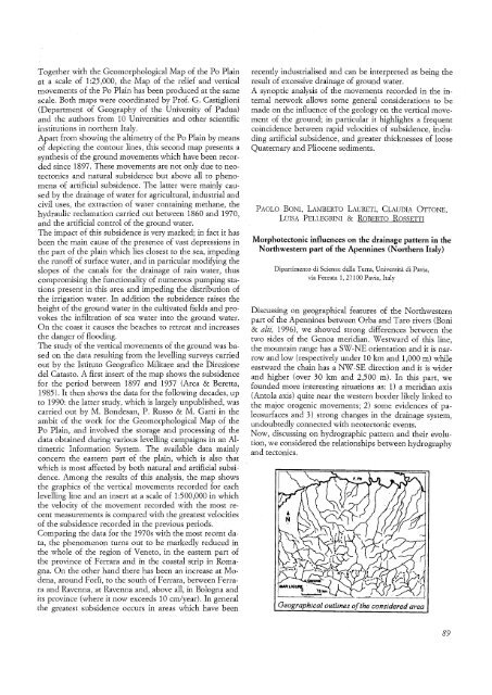
Geographical outlines ofthe considered area<br />
89


