

PostGIS Raster : Extending PostgreSQL for The Support of ... - CoDE
PostGIS Raster : Extending PostgreSQL for The Support of ... - CoDE
PostGIS Raster : Extending PostgreSQL for The Support of ... - CoDE

You also want an ePaper? Increase the reach of your titles
YUMPU automatically turns print PDFs into web optimized ePapers that Google loves.
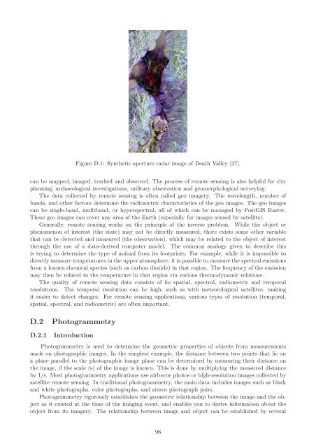
Figure D.1: Synthetic aperture radar image <strong>of</strong> Death Valley [37].<br />
can be mapped, imaged, tracked and observed. <strong>The</strong> process <strong>of</strong> remote sensing is also helpful <strong>for</strong> city<br />
planning, archaeological investigations, military observation and geomorphological surveying.<br />
<strong>The</strong> data collected by remote sensing is <strong>of</strong>ten called geo imagery. <strong>The</strong> wavelength, number <strong>of</strong><br />
bands, and other factors determine the radiometric characteristics <strong>of</strong> the geo images. <strong>The</strong> geo images<br />
can be single-band, multiband, or hyperspectral, all <strong>of</strong> which can be managed by <strong>PostGIS</strong> <strong>Raster</strong>.<br />
<strong>The</strong>se geo images can cover any area <strong>of</strong> the Earth (especially <strong>for</strong> images sensed by satellite).<br />
Generally, remote sensing works on the principle <strong>of</strong> the inverse problem. While the object or<br />
phenomenon <strong>of</strong> interest (the state) may not be directly measured, there exists some other variable<br />
that can be detected and measured (the observation), which may be related to the object <strong>of</strong> interest<br />
through the use <strong>of</strong> a data-derived computer model. <strong>The</strong> common analogy given to describe this<br />
is trying to determine the type <strong>of</strong> animal from its footprints. For example, while it is impossible to<br />
directly measure temperatures in the upper atmosphere, it is possible to measure the spectral emissions<br />
from a known chemical species (such as carbon dioxide) in that region. <strong>The</strong> frequency <strong>of</strong> the emission<br />
may then be related to the temperature in that region via various thermodynamic relations.<br />
<strong>The</strong> quality <strong>of</strong> remote sensing data consists <strong>of</strong> its spatial, spectral, radiometric and temporal<br />
resolutions. <strong>The</strong> temporal resolution can be high, such as with meteorological satellites, making<br />
it easier to detect changes. For remote sensing applications, various types <strong>of</strong> resolution (temporal,<br />
spatial, spectral, and radiometric) are <strong>of</strong>ten important.<br />
D.2 Photogrammetry<br />
D.2.1 Introduction<br />
Photogrammetry is used to determine the geometric properties <strong>of</strong> objects from measurements<br />
made on photographic images. In the simplest example, the distance between two points that lie on<br />
a plane parallel to the photographic image plane can be determined by measuring their distance on<br />
the image, if the scale (s) <strong>of</strong> the image is known. This is done by multiplying the measured distance<br />
by 1/s. Most photogrammetry applications use airborne photos or high-resolution images collected by<br />
satellite remote sensing. In traditional photogrammetry, the main data includes images such as black<br />
and white photographs, color photographs, and stereo photograph pairs.<br />
Photogrammetry rigorously establishes the geometric relationship between the image and the object<br />
as it existed at the time <strong>of</strong> the imaging event, and enables you to derive in<strong>for</strong>mation about the<br />
object from its imagery. <strong>The</strong> relationship between image and object can be established by several<br />
96


