

PostGIS Raster : Extending PostgreSQL for The Support of ... - CoDE
PostGIS Raster : Extending PostgreSQL for The Support of ... - CoDE
PostGIS Raster : Extending PostgreSQL for The Support of ... - CoDE

Create successful ePaper yourself
Turn your PDF publications into a flip-book with our unique Google optimized e-Paper software.
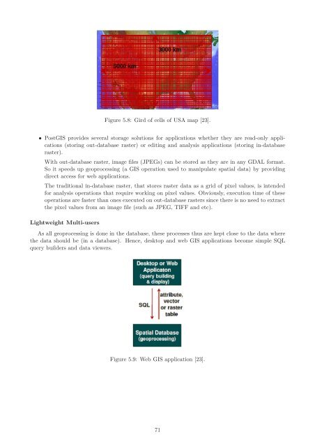
Figure 5.8: Gird <strong>of</strong> cells <strong>of</strong> USA map [23].<br />
• <strong>PostGIS</strong> provides several storage solutions <strong>for</strong> applications whether they are read-only applications<br />
(storing out-database raster) or editing and analysis applications (storing in-database<br />
raster).<br />
With out-database raster, image files (JPEGs) can be stored as they are in any GDAL <strong>for</strong>mat.<br />
So it speeds up geoprocessing (a GIS operation used to manipulate spatial data) by providing<br />
direct access <strong>for</strong> web applications.<br />
<strong>The</strong> traditional in-database raster, that stores raster data as a grid <strong>of</strong> pixel values, is intended<br />
<strong>for</strong> analysis operations that require working on pixel values. Obviously, execution time <strong>of</strong> these<br />
operations are faster than ones executed on out-database rasters since there is no need to extract<br />
the pixel values from an image file (such as JPEG, TIFF and etc).<br />
Lightweight Multi-users<br />
As all geoprocessing is done in the database, these processes thus are kept close to the data where<br />
the data should be (in a database). Hence, desktop and web GIS applications become simple SQL<br />
query builders and data viewers.<br />
Figure 5.9: Web GIS application [23].<br />
71


