

PostGIS Raster : Extending PostgreSQL for The Support of ... - CoDE
PostGIS Raster : Extending PostgreSQL for The Support of ... - CoDE
PostGIS Raster : Extending PostgreSQL for The Support of ... - CoDE

Create successful ePaper yourself
Turn your PDF publications into a flip-book with our unique Google optimized e-Paper software.
D.4 Digital Image Processing<br />
D.4.1 Introduction<br />
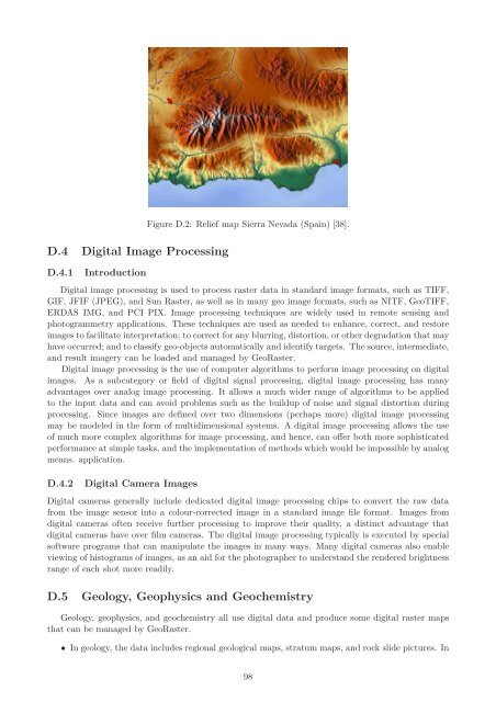
Figure D.2: Relief map Sierra Nevada (Spain) [38].<br />
Digital image processing is used to process raster data in standard image <strong>for</strong>mats, such as TIFF,<br />
GIF, JFIF (JPEG), and Sun <strong>Raster</strong>, as well as in many geo image <strong>for</strong>mats, such as NITF, GeoTIFF,<br />
ERDAS IMG, and PCI PIX. Image processing techniques are widely used in remote sensing and<br />
photogrammetry applications. <strong>The</strong>se techniques are used as needed to enhance, correct, and restore<br />
images to facilitate interpretation; to correct <strong>for</strong> any blurring, distortion, or other degradation that may<br />
have occurred; and to classify geo-objects automatically and identify targets. <strong>The</strong> source, intermediate,<br />
and result imagery can be loaded and managed by Geo<strong>Raster</strong>.<br />
Digital image processing is the use <strong>of</strong> computer algorithms to per<strong>for</strong>m image processing on digital<br />
images. As a subcategory or field <strong>of</strong> digital signal processing, digital image processing has many<br />
advantages over analog image processing. It allows a much wider range <strong>of</strong> algorithms to be applied<br />
to the input data and can avoid problems such as the buildup <strong>of</strong> noise and signal distortion during<br />
processing. Since images are defined over two dimensions (perhaps more) digital image processing<br />
may be modeled in the <strong>for</strong>m <strong>of</strong> multidimensional systems. A digital image processing allows the use<br />
<strong>of</strong> much more complex algorithms <strong>for</strong> image processing, and hence, can <strong>of</strong>fer both more sophisticated<br />
per<strong>for</strong>mance at simple tasks, and the implementation <strong>of</strong> methods which would be impossible by analog<br />
means. application.<br />
D.4.2 Digital Camera Images<br />
Digital cameras generally include dedicated digital image processing chips to convert the raw data<br />
from the image sensor into a colour-corrected image in a standard image file <strong>for</strong>mat. Images from<br />
digital cameras <strong>of</strong>ten receive further processing to improve their quality, a distinct advantage that<br />
digital cameras have over film cameras. <strong>The</strong> digital image processing typically is executed by special<br />
s<strong>of</strong>tware programs that can manipulate the images in many ways. Many digital cameras also enable<br />
viewing <strong>of</strong> histograms <strong>of</strong> images, as an aid <strong>for</strong> the photographer to understand the rendered brightness<br />
range <strong>of</strong> each shot more readily.<br />
D.5 Geology, Geophysics and Geochemistry<br />
Geology, geophysics, and geochemistry all use digital data and produce some digital raster maps<br />
that can be managed by Geo<strong>Raster</strong>.<br />
• In geology, the data includes regional geological maps, stratum maps, and rock slide pictures. In<br />
98


