

PostGIS Raster : Extending PostgreSQL for The Support of ... - CoDE
PostGIS Raster : Extending PostgreSQL for The Support of ... - CoDE
PostGIS Raster : Extending PostgreSQL for The Support of ... - CoDE

Create successful ePaper yourself
Turn your PDF publications into a flip-book with our unique Google optimized e-Paper software.
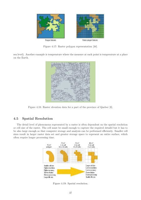
Figure 4.17: <strong>Raster</strong> polygon representation [34].<br />
sea level). Another example is temperature where the measure at each point is temperature at a place<br />
on the Earth.<br />
Figure 4.18: <strong>Raster</strong> elevation data <strong>for</strong> a part <strong>of</strong> the province <strong>of</strong> Quebec [8].<br />
4.5 Spatial Resolution<br />
<strong>The</strong> detail level <strong>of</strong> phenomena represented by a raster is <strong>of</strong>ten dependent on the spatial resolution<br />
or cell size <strong>of</strong> the raster. <strong>The</strong> cell must be small enough to capture the required detaild but it has to<br />
be also large enough so that computer storage and analysis can be per<strong>for</strong>med efficiently. Smaller cell<br />
sizes result in larger raster data set and greater storage space to represent an entire surface, which<br />
<strong>of</strong>ten require longer processing time.<br />
Figure 4.19: Spatial resolution.<br />
37


