INDUSTRIAL LAND IN A POST-INDUSTRIAL CITY District of ...
INDUSTRIAL LAND IN A POST-INDUSTRIAL CITY District of ...
INDUSTRIAL LAND IN A POST-INDUSTRIAL CITY District of ...

You also want an ePaper? Increase the reach of your titles
YUMPU automatically turns print PDFs into web optimized ePapers that Google loves.
<strong>District</strong> <strong>of</strong> Columbia Industrial Areas Study DC Office <strong>of</strong> Planning<br />
Prepared by Phillips Preiss Shapiro Associates, Inc.<br />
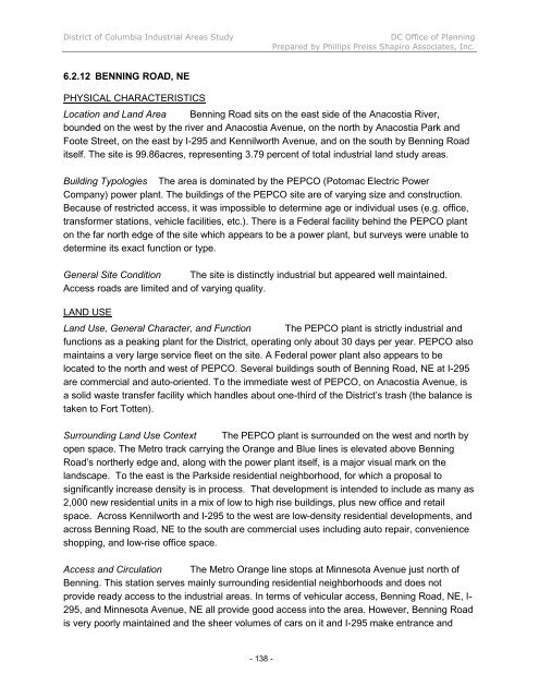
6.2.12 BENN<strong>IN</strong>G ROAD, NE<br />
PHYSICAL CHARACTERISTICS<br />
Location and Land Area Benning Road sits on the east side <strong>of</strong> the Anacostia River,<br />
bounded on the west by the river and Anacostia Avenue, on the north by Anacostia Park and<br />
Foote Street, on the east by I-295 and Kennilworth Avenue, and on the south by Benning Road<br />
itself. The site is 99.86acres, representing 3.79 percent <strong>of</strong> total industrial land study areas.<br />
Building Typologies The area is dominated by the PEPCO (Potomac Electric Power<br />
Company) power plant. The buildings <strong>of</strong> the PEPCO site are <strong>of</strong> varying size and construction.<br />
Because <strong>of</strong> restricted access, it was impossible to determine age or individual uses (e.g. <strong>of</strong>fice,<br />
transformer stations, vehicle facilities, etc.). There is a Federal facility behind the PEPCO plant<br />
on the far north edge <strong>of</strong> the site which appears to be a power plant, but surveys were unable to<br />
determine its exact function or type.<br />
General Site Condition The site is distinctly industrial but appeared well maintained.<br />
Access roads are limited and <strong>of</strong> varying quality.<br />
<strong>LAND</strong> USE<br />
Land Use, General Character, and Function The PEPCO plant is strictly industrial and<br />
functions as a peaking plant for the <strong>District</strong>, operating only about 30 days per year. PEPCO also<br />
maintains a very large service fleet on the site. A Federal power plant also appears to be<br />
located to the north and west <strong>of</strong> PEPCO. Several buildings south <strong>of</strong> Benning Road, NE at I-295<br />
are commercial and auto-oriented. To the immediate west <strong>of</strong> PEPCO, on Anacostia Avenue, is<br />
a solid waste transfer facility which handles about one-third <strong>of</strong> the <strong>District</strong>’s trash (the balance is<br />
taken to Fort Totten).<br />
Surrounding Land Use Context The PEPCO plant is surrounded on the west and north by<br />
open space. The Metro track carrying the Orange and Blue lines is elevated above Benning<br />
Road’s northerly edge and, along with the power plant itself, is a major visual mark on the<br />
landscape. To the east is the Parkside residential neighborhood, for which a proposal to<br />
significantly increase density is in process. That development is intended to include as many as<br />
2,000 new residential units in a mix <strong>of</strong> low to high rise buildings, plus new <strong>of</strong>fice and retail<br />
space. Across Kennilworth and I-295 to the west are low-density residential developments, and<br />
across Benning Road, NE to the south are commercial uses including auto repair, convenience<br />
shopping, and low-rise <strong>of</strong>fice space.<br />
Access and Circulation The Metro Orange line stops at Minnesota Avenue just north <strong>of</strong><br />
Benning. This station serves mainly surrounding residential neighborhoods and does not<br />
provide ready access to the industrial areas. In terms <strong>of</strong> vehicular access, Benning Road, NE, I-<br />
295, and Minnesota Avenue, NE all provide good access into the area. However, Benning Road<br />
is very poorly maintained and the sheer volumes <strong>of</strong> cars on it and I-295 make entrance and<br />
- 138 -