Piedmont Greenway Master Plan - Town of Kernersville
Piedmont Greenway Master Plan - Town of Kernersville
Piedmont Greenway Master Plan - Town of Kernersville
- No tags were found...
You also want an ePaper? Increase the reach of your titles
YUMPU automatically turns print PDFs into web optimized ePapers that Google loves.
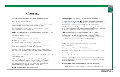
GLOSSARY<br />
AASHTO: American Association <strong>of</strong> State Highway Transportation Officials.<br />
ADA: Americans with Disabilities Act.<br />
At-Grade Crossing: refers to a trail/roadway intersection where trail users are routed<br />
onto the road, rather than above (pedestrian bridge) or below (tunnel).<br />
BMP: best management practices. These practices reflect the most up-to-date<br />
technology to solve or improve design issues.<br />
Bollards: metal, wooden or concrete posts designed to restrict vehicle access to a trail.<br />
CAC: Citizens Advisory Committee.<br />
EPA: United States Environmental Protection Agency.<br />
Floodplain: the lowland that borders a stream, creek, river or water conveyance<br />
and is subject to flooding when the stream overflows its banks.<br />
“Gene-ways”: routes by which genetic diversity can occur, such as greenways,<br />
through the migration and breeding <strong>of</strong> plant and animal species.<br />
<strong>Greenway</strong>: a linear corridor <strong>of</strong> natural land, usually following features such as<br />
rivers, creeks, ridges, old railroad lines or utility lines. <strong>Greenway</strong>s generally contain<br />
trails.<br />
Gabions: rectangular, rock-filled, wire baskets which are building blocks that are used<br />
to stabilize stream banks.<br />
LRTP: Long Range Transportation <strong>Plan</strong>. The Winston-Salem/Forsyth County<br />
Long Range Transportation <strong>Plan</strong> (LRTP) is a comprehensive plan for the total<br />
transportation system encompassing each mode: transit, rail, bicycle, pedestrian,<br />
airport and streets and highways. The LRTP must be fiscally constrained and<br />
meet air quality conformity standards for the 2025 horizon year.<br />
MUTCD: Manual on Uniform Traffic Control Devices.<br />
Non-attainment area: The Clean Air Act and Amendments <strong>of</strong> 1990 define a “non<br />
attainment area” as a locality where air pollution levels persistently exceed<br />
National Ambient Air Quality Standards. Designating an area non-attainment is a formal<br />
rule making process and EPA normally takes this action only after air quality standards have<br />
been exceeded for several consecutive years. http://www.epa.govairs nonattn.html<br />
NCDOT (GIS): North Carolina Department <strong>of</strong> Transportation Geographic Information<br />
Survey. This public department provides and maintains a comprehensive road configuration<br />
and attributed digital data base for GIS, mapping, and road inventory.<br />
PART: <strong>Piedmont</strong> Authority for Regional Transportation. PART is a Regional<br />
Transportation Authority with a goal to improve transportation through regional<br />
cooperation. In 1997 the North Carolina General Assembly approved enabling<br />
legislation to form a regional transportation authority whereby local triad governments can<br />
work together to develop transportation systems throughout the region.<br />
Riparian: associated with a river or creek.<br />
Rip Rap: large angular rocks that are traditionally used to armor eroding<br />
banks <strong>of</strong> small streams.<br />
ROW: right-<strong>of</strong>-way. ROW is associated with NCDOT easements.<br />
Stormwater: rainfall or snowmelt which travels into streams and rivers during and after<br />
storm events.<br />
Trail tread: the surface <strong>of</strong> a trail.<br />
Trail head: a designated public access point along a greenway which can include bicycle<br />
and paved or gravel automobile parking, rest room facilities, drinking fountains, signage,<br />
benches and picnic tables.<br />
Watershed Ratings: North Carolina Department <strong>of</strong> Water Quality Classification.<br />
WS-I: watersheds are entirely composed <strong>of</strong> publicly owned land, and are used as<br />
PIEDMONT GREENWAY<br />
Final <strong>Master</strong> <strong>Plan</strong> Report i


