Nkomazi Local Municipality 20 - Co-operative Governance and ...
Nkomazi Local Municipality 20 - Co-operative Governance and ...
Nkomazi Local Municipality 20 - Co-operative Governance and ...
- No tags were found...

Create successful ePaper yourself
Turn your PDF publications into a flip-book with our unique Google optimized e-Paper software.
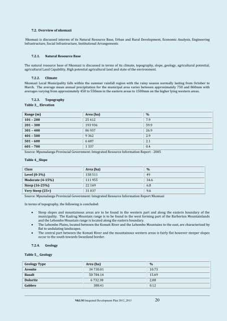
7.2. Overview of nkomazi<strong>Nkomazi</strong> is discussed interms of its Natural Resource Base, Urban <strong>and</strong> Rural Development, Economic Analysis, EngineeringInfrastructure, Social Infrastructure, Institutional Arrangements7.2.1. Natural Resource BaseThe natural resource base of <strong>Nkomazi</strong> is discussed in terms of its climate, topography, slope, geology, agricultural potential,agricultural L<strong>and</strong> Capability, High potential agricultural l<strong>and</strong> <strong>and</strong> state of the environment.7.2.2. Climate<strong>Nkomazi</strong> <strong>Local</strong> <strong>Municipality</strong> falls within the summer rainfall region with the rainy season normally lasting from October toMarch. The average mean annual precipitation for the municipal area varies between approximately 750 <strong>and</strong> 860mm withaverages varying from approximately 450 to 550mm in the eastern areas to 1500mm on the higher lying western areas.7.2.3. TopographyTable 3__ ElevationRange (m) Area (ha) %101 – <strong>20</strong>0 25 412 7.9<strong>20</strong>1 – 300 193 936 59.9301 – 400 86 937 26.9401 – 500 9 362 2.9501 – 600 6 687 2.1601 – 700 1 337 0.4Source: Mpumalanga Provincial Government: Integrated Resource Information Report - <strong>20</strong>05Table 4__SlopeClass Area (ha) %Level (0-3%) 158 511 49Moderate (4-15%) 111 955 34.6Steep (16-25%) 22 169 6.8Very Steep (25+) 31 037 9.6Source: Mpumalanga Provincial Government: Integrated Resource Information Report <strong>Nkomazi</strong>In terms of topography, the following is concluded:Steep slopes <strong>and</strong> mountainous areas are to be found in the western part <strong>and</strong> along the eastern boundary of themunicipality. The Kaalrug Mountain range is to be found to the west forming part of the Barberton Mountainl<strong>and</strong>s<strong>and</strong> the Lebombo Mountain range is located along the eastern boundary.The Lebombo Plains, located between the Komati River <strong>and</strong> the Lebombo Mountains to the east, are characterized byflat to undulating l<strong>and</strong>scapes.The central part between the Komati River <strong>and</strong> the mountainous western areas is fairly flat however steeper slopesoccur to the south towards Swazil<strong>and</strong> border.7.2.4. GeologyTable 5__ GeologyGeology Type Area (ha) %Arenite 34 730.01 10.73Basalt 50 784.14 15.69Dolorite 6 732.38 2,08Gabbro 388.41 0.12NKLM Integrated Development Plan <strong>20</strong>12_<strong>20</strong>13 <strong>20</strong>