Scientific and Technical Aerospace Reports Volume 39 April 6, 2001
Scientific and Technical Aerospace Reports Volume 39 April 6, 2001
Scientific and Technical Aerospace Reports Volume 39 April 6, 2001
You also want an ePaper? Increase the reach of your titles
YUMPU automatically turns print PDFs into web optimized ePapers that Google loves.
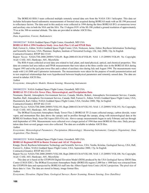
The BOREAS RSS-3 team collected multiple remotely sensed data sets from the NASA UH-1 helicopter. This data set<br />
includes helicopter-based radiometric measurements of forested sites acquired during BOREAS made with an SE-590 processed<br />
to reflectance factors. The data used in this analysis were collected in 1994 during the three BOREAS IFCs at numerous tower<br />
<strong>and</strong> auxiliary sites in both the NSA <strong>and</strong> the SSA. The 15-degree FOV of the SE-590 yielded a ground resolution of approximately<br />
79 m at the 300-m nominal altitude. The data are provided in tabular ASCII files.<br />
Author<br />
Data Acquisition; Forests; Radiometers<br />
<strong>2001</strong>0022167 NASA Goddard Space Flight Center, Greenbelt, MD USA<br />
BOREAS RSS-4 1994 Southern Study Area Jack Pine LAI <strong>and</strong> FPAR Data<br />
Hall, Forrest G., Editor, NASA Goddard Space Flight Center, USA; Nickeson, Jaime, Editor, Raytheon Information Technology<br />
<strong>and</strong> <strong>Scientific</strong> Services, USA; Plummer, Stephen, Institute of Terrestrial Ecology, UK; July 2000; 33p; In English<br />
Contract(s)/Grant(s): RTOP 462-33-01<br />
Report No.(s): NASA/TM-2000-209891/VOL49; Rept-2000-03136-0/VOL49; NAS 1.15:209891/VOL49; No Copyright;<br />
Avail: CASI; A03, Hardcopy; A01, Microfiche<br />
The RSS-4 team collected several data sets related to leaf, plant, <strong>and</strong> st<strong>and</strong> physical, optical, <strong>and</strong> chemical properties. This<br />
data set contains leaf area indices <strong>and</strong> FPAR measurements that were taken at the three conifer sites in the BOREAS SSA during<br />
August 1993 <strong>and</strong> at the jack pine tower flux <strong>and</strong> a subset of auxiliary sites during July <strong>and</strong> August 1994. The measurements were<br />
made with LAI-2000 <strong>and</strong> Ceptometer instruments. The measurements were taken for the purpose of model parameterization <strong>and</strong><br />
to test empirical relationships that were hypothesized between biophysical parameters <strong>and</strong> remotely sensed data. The data are<br />
stored in tabular ASCII files.<br />
Author<br />
Ecosystems; Atmospheric Models; Remote Sensing; Measuring Instruments<br />
<strong>2001</strong>0022231 NASA Goddard Space Flight Center, Greenbelt, MD USA<br />
BOREAS TF-2 SSA-OA Tower Flux, Meteorological, <strong>and</strong> Precipitation Data<br />
Neumann, Harold, Atmospheric Environment Service, Canada; Mickle, Robert, Atmospheric Environment Service, Canada;<br />
Staebler, Ralf, Atmospheric Environment Service, Canada; Hall, Forrest G., Editor, NASA Goddard Space Flight Center, USA;<br />
Huemmrich, Karl, Editor, NASA Goddard Space Flight Center, USA; October 2000; 50p; In English<br />
Contract(s)/Grant(s): RTOP 462-33-01<br />
Report No.(s): NASA/TM-2000-209891/VOL193; Rept-2000-03136-0/VOL193; NAS 1.15:209891/VOL193; No Copyright;<br />
Avail: CASI; A03, Hardcopy; A01, Microfiche<br />
The BOReal Ecosystem-Atmosphere Study Tower Flux-2 (BOREAS TF-2) team collected energy, carbon dioxide, water<br />
vapor, <strong>and</strong> momentum flux data above the canopy <strong>and</strong> in profiles through the canopy, along with meteorological data at the<br />
BOREAS Southern Study Area-Old Aspen (SSA-OA) site. Above-canopy measurements began in early February <strong>and</strong> ran through<br />
mid-September of 1994. Measurements were collected over a longer period of 1994 than most BOREAS flux sites. Daily precipitation<br />
data from several gauges were also collected. The data are available in tabular ASCII files.<br />
Author<br />
Ecosystems; Meteorological Parameters; Precipitation (Meteorology); Measuring Instruments; Canopies (Vegetation); Data<br />
Acquisition; Flux Density<br />
<strong>2001</strong>0022232 NASA Goddard Space Flight Center, Greenbelt, MD USA<br />
BOREAS Regional DEM in Raster Format <strong>and</strong> AEAC Projection<br />
Knapp, David, Raytheon Information Technology <strong>and</strong> <strong>Scientific</strong> Services, USA; Verdin, Kristine, Geological Survey, USA; Hall,<br />
Forrest G., Editor, NASA Goddard Space Flight Center, USA; September 2000; 17p; In English<br />
Contract(s)/Grant(s): RTOP 462-33-01<br />
Report No.(s): NASA/TM-2000-209891/VOL108; Rept-2000-03136-0/VOL108; NAS 1.15:209891/VOL108; No Copyright;<br />
Avail: CASI; A03, Hardcopy; A01, Microfiche<br />
This data set is based on the GTOPO30 Digital Elevation Model (DEM) produced by the USA Geological Survey EROS Data<br />
Center (USGS EDC). The BOReal Ecosystem-Atmosphere Study (BOREAS) region (1,000 km x 1000 km) was extracted from<br />
the GTOPO30 data <strong>and</strong> reprojected by BOREAS staff into the Albers Equal-Area Conic (AEAC) projection. The pixel size of<br />
these data is 1 km. The data are stored in binary, image format files.<br />
Author<br />
Ecosystems; Elevation; Digital Data; Geological Surveys; Raster Scanning; Remote Sensing; Eros (Satellites)<br />
166


