Scientific and Technical Aerospace Reports Volume 39 April 6, 2001
Scientific and Technical Aerospace Reports Volume 39 April 6, 2001
Scientific and Technical Aerospace Reports Volume 39 April 6, 2001
You also want an ePaper? Increase the reach of your titles
YUMPU automatically turns print PDFs into web optimized ePapers that Google loves.
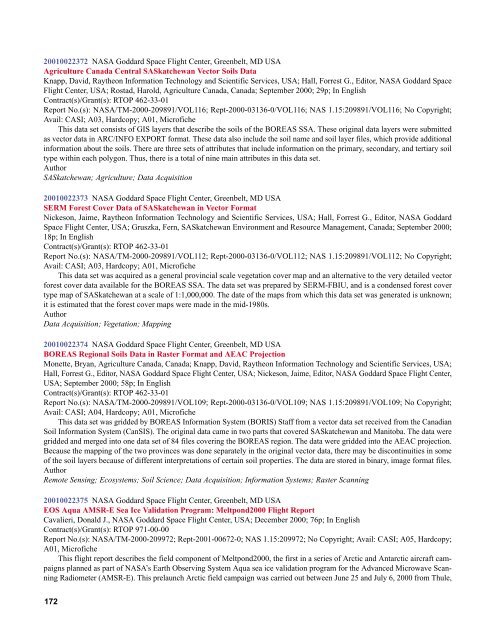
<strong>2001</strong>0022372 NASA Goddard Space Flight Center, Greenbelt, MD USA<br />
Agriculture Canada Central SASkatchewan Vector Soils Data<br />
Knapp, David, Raytheon Information Technology <strong>and</strong> <strong>Scientific</strong> Services, USA; Hall, Forrest G., Editor, NASA Goddard Space<br />
Flight Center, USA; Rostad, Harold, Agriculture Canada, Canada; September 2000; 29p; In English<br />
Contract(s)/Grant(s): RTOP 462-33-01<br />
Report No.(s): NASA/TM-2000-209891/VOL116; Rept-2000-03136-0/VOL116; NAS 1.15:209891/VOL116; No Copyright;<br />
Avail: CASI; A03, Hardcopy; A01, Microfiche<br />
This data set consists of GIS layers that describe the soils of the BOREAS SSA. These original data layers were submitted<br />
as vector data in ARC/INFO EXPORT format. These data also include the soil name <strong>and</strong> soil layer files, which provide additional<br />
information about the soils. There are three sets of attributes that include information on the primary, secondary, <strong>and</strong> tertiary soil<br />
type within each polygon. Thus, there is a total of nine main attributes in this data set.<br />
Author<br />
SASkatchewan; Agriculture; Data Acquisition<br />
<strong>2001</strong>0022373 NASA Goddard Space Flight Center, Greenbelt, MD USA<br />
SERM Forest Cover Data of SASkatchewan in Vector Format<br />
Nickeson, Jaime, Raytheon Information Technology <strong>and</strong> <strong>Scientific</strong> Services, USA; Hall, Forrest G., Editor, NASA Goddard<br />
Space Flight Center, USA; Gruszka, Fern, SASkatchewan Environment <strong>and</strong> Resource Management, Canada; September 2000;<br />
18p; In English<br />
Contract(s)/Grant(s): RTOP 462-33-01<br />
Report No.(s): NASA/TM-2000-209891/VOL112; Rept-2000-03136-0/VOL112; NAS 1.15:209891/VOL112; No Copyright;<br />
Avail: CASI; A03, Hardcopy; A01, Microfiche<br />
This data set was acquired as a general provincial scale vegetation cover map <strong>and</strong> an alternative to the very detailed vector<br />
forest cover data available for the BOREAS SSA. The data set was prepared by SERM-FBIU, <strong>and</strong> is a condensed forest cover<br />
type map of SASkatchewan at a scale of 1:1,000,000. The date of the maps from which this data set was generated is unknown;<br />
it is estimated that the forest cover maps were made in the mid-1980s.<br />
Author<br />
Data Acquisition; Vegetation; Mapping<br />
<strong>2001</strong>0022374 NASA Goddard Space Flight Center, Greenbelt, MD USA<br />
BOREAS Regional Soils Data in Raster Format <strong>and</strong> AEAC Projection<br />
Monette, Bryan, Agriculture Canada, Canada; Knapp, David, Raytheon Information Technology <strong>and</strong> <strong>Scientific</strong> Services, USA;<br />
Hall, Forrest G., Editor, NASA Goddard Space Flight Center, USA; Nickeson, Jaime, Editor, NASA Goddard Space Flight Center,<br />
USA; September 2000; 58p; In English<br />
Contract(s)/Grant(s): RTOP 462-33-01<br />
Report No.(s): NASA/TM-2000-209891/VOL109; Rept-2000-03136-0/VOL109; NAS 1.15:209891/VOL109; No Copyright;<br />
Avail: CASI; A04, Hardcopy; A01, Microfiche<br />
This data set was gridded by BOREAS Information System (BORIS) Staff from a vector data set received from the Canadian<br />
Soil Information System (CanSIS). The original data came in two parts that covered SASkatchewan <strong>and</strong> Manitoba. The data were<br />
gridded <strong>and</strong> merged into one data set of 84 files covering the BOREAS region. The data were gridded into the AEAC projection.<br />
Because the mapping of the two provinces was done separately in the original vector data, there may be discontinuities in some<br />
of the soil layers because of different interpretations of certain soil properties. The data are stored in binary, image format files.<br />
Author<br />
Remote Sensing; Ecosystems; Soil Science; Data Acquisition; Information Systems; Raster Scanning<br />
<strong>2001</strong>0022375 NASA Goddard Space Flight Center, Greenbelt, MD USA<br />
EOS Aqua AMSR-E Sea Ice Validation Program: Meltpond2000 Flight Report<br />
Cavalieri, Donald J., NASA Goddard Space Flight Center, USA; December 2000; 76p; In English<br />
Contract(s)/Grant(s): RTOP 971-00-00<br />
Report No.(s): NASA/TM-2000-209972; Rept-<strong>2001</strong>-00672-0; NAS 1.15:209972; No Copyright; Avail: CASI; A05, Hardcopy;<br />
A01, Microfiche<br />
This flight report describes the field component of Meltpond2000, the first in a series of Arctic <strong>and</strong> Antarctic aircraft campaigns<br />
planned as part of NASA’s Earth Observing System Aqua sea ice validation program for the Advanced Microwave Scanning<br />
Radiometer (AMSR-E). This prelaunch Arctic field campaign was carried out between June 25 <strong>and</strong> July 6, 2000 from Thule,<br />
172


