District II Quebec City-Les Escoumins - Transports Canada
District II Quebec City-Les Escoumins - Transports Canada
District II Quebec City-Les Escoumins - Transports Canada
You also want an ePaper? Increase the reach of your titles
YUMPU automatically turns print PDFs into web optimized ePapers that Google loves.
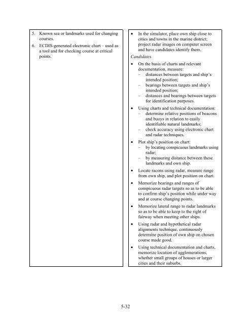
5. Known sea or landmarks used for changing<br />
courses.<br />
6. ECDIS-generated electronic chart – used as<br />
a tool and for checking course at critical<br />
points.<br />
• In the simulator, place own ship close to<br />
cities and towns in the marine district;<br />
project radar images on computer screen<br />
and have candidates identify them.<br />
Candidates<br />
• On the basis of charts and relevant<br />
documentation, measure:<br />
– distances between targets and ship’s<br />
intended position;<br />
– bearings between targets and ship’s<br />
intended position;<br />
– distances and bearings between targets<br />
for identification purposes.<br />
• Using charts and technical documentation:<br />
– determine relative positions of beacons<br />
and buoys in relation to easily<br />
identifiable natural landmarks;<br />
– check accuracy using electronic chart<br />
and radar techniques.<br />
• Plot ship’s position on chart:<br />
– by locating conspicuous landmarks using<br />
radar;<br />
– by measuring distance between these<br />
landmarks and own ship.<br />
• Locate racons using radar, measure range<br />
from own ship, and plot position on chart.<br />
• Memorize bearings and ranges of<br />
conspicuous radar targets so as to be able<br />
to confirm ship’s position while under way<br />
and at course changing points.<br />
• Memorize lateral range to radar landmarks<br />
so as to be able to keep to the right of<br />
fairway when meeting other ships.<br />
• Using radar and hypothetical radar<br />
alignments technique, continuously<br />
determine position of own ship on chosen<br />
course made good.<br />
• Using technical documentation and charts,<br />
memorize location of agglomerations,<br />
whether small groups of houses or larger<br />
cities and their suburbs.<br />
5-32


