LARIMER COUNTY RURAL AREA ROAD STANDARDS
LARIMER COUNTY RURAL AREA ROAD STANDARDS
LARIMER COUNTY RURAL AREA ROAD STANDARDS

Create successful ePaper yourself
Turn your PDF publications into a flip-book with our unique Google optimized e-Paper software.
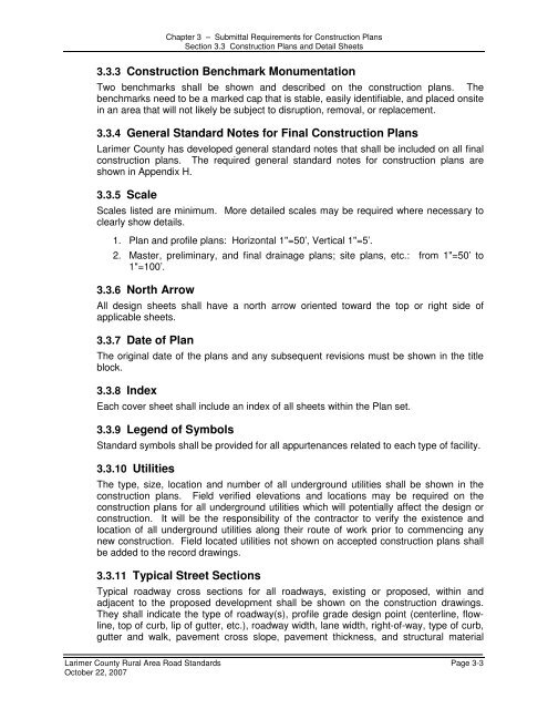
Chapter 3 – Submittal Requirements for Construction PlansSection 3.3 Construction Plans and Detail Sheets3.3.3 Construction Benchmark MonumentationTwo benchmarks shall be shown and described on the construction plans. Thebenchmarks need to be a marked cap that is stable, easily identifiable, and placed onsitein an area that will not likely be subject to disruption, removal, or replacement.3.3.4 General Standard Notes for Final Construction PlansLarimer County has developed general standard notes that shall be included on all finalconstruction plans. The required general standard notes for construction plans areshown in Appendix H.3.3.5 ScaleScales listed are minimum. More detailed scales may be required where necessary toclearly show details.1. Plan and profile plans: Horizontal 1"=50’, Vertical 1"=5’.2. Master, preliminary, and final drainage plans; site plans, etc.: from 1"=50’ to1"=100’.3.3.6 North ArrowAll design sheets shall have a north arrow oriented toward the top or right side ofapplicable sheets.3.3.7 Date of PlanThe original date of the plans and any subsequent revisions must be shown in the titleblock.3.3.8 IndexEach cover sheet shall include an index of all sheets within the Plan set.3.3.9 Legend of SymbolsStandard symbols shall be provided for all appurtenances related to each type of facility.3.3.10 UtilitiesThe type, size, location and number of all underground utilities shall be shown in theconstruction plans. Field verified elevations and locations may be required on theconstruction plans for all underground utilities which will potentially affect the design orconstruction. It will be the responsibility of the contractor to verify the existence andlocation of all underground utilities along their route of work prior to commencing anynew construction. Field located utilities not shown on accepted construction plans shallbe added to the record drawings.3.3.11 Typical Street SectionsTypical roadway cross sections for all roadways, existing or proposed, within andadjacent to the proposed development shall be shown on the construction drawings.They shall indicate the type of roadway(s), profile grade design point (centerline, flowline,top of curb, lip of gutter, etc.), roadway width, lane width, right-of-way, type of curb,gutter and walk, pavement cross slope, pavement thickness, and structural materialLarimer County Rural Area Road Standards Page 3-3October 22, 2007