Glenbrook Sation REF (pdf 3.15MB) - Transport for NSW - NSW ...
Glenbrook Sation REF (pdf 3.15MB) - Transport for NSW - NSW ...
Glenbrook Sation REF (pdf 3.15MB) - Transport for NSW - NSW ...
- No tags were found...
Create successful ePaper yourself
Turn your PDF publications into a flip-book with our unique Google optimized e-Paper software.
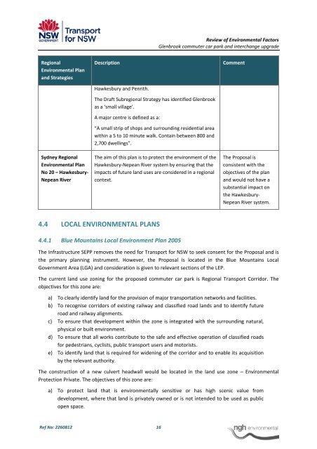
Review of Environmental Factors<strong>Glenbrook</strong> commuter car park and interchange upgradeRegionalEnvironmental Planand StrategiesDescriptionHawkesbury and Penrith.CommentSydney RegionalEnvironmental PlanNo 20 – Hawkesbury‐Nepean RiverThe Draft Subregional Strategy has identified <strong>Glenbrook</strong>as a ‘small village’.A major centre is defined as a:“A small strip of shops and surrounding residential areawithin a 5 to 10 minute walk. Contain between 800 and2,700 dwellings”.The aim of this plan is to protect the environment of theHawkesbury‐Nepean River system by ensuring that theimpacts of future land uses are considered in a regionalcontext.The Proposal isconsistent with theobjectives of the planand would not have asubstantial impact onthe Hawkesbury‐Nepean River system.4.4 LOCAL ENVIRONMENTAL PLANS4.4.1 Blue Mountains Local Environment Plan 2005The Infrastructure SEPP removes the need <strong>for</strong> <strong>Transport</strong> <strong>for</strong> <strong>NSW</strong> to seek consent <strong>for</strong> the Proposal and isthe primary planning instrument. However, the Proposal is located in the Blue Mountains LocalGovernment Area (LGA) and consideration is given to relevant sections of the LEP.The current land use zoning <strong>for</strong> the proposed commuter car park is Regional <strong>Transport</strong> Corridor. Theobjectives <strong>for</strong> this zone are:a) To clearly identify land <strong>for</strong> the provision of major transportation networks and facilities.b) To recognise corridors of existing railway and classified road lands and to identify futureroad and railway alignments.c) To ensure that development within the zone is integrated with the surrounding natural,physical or built environment.d) To ensure that all works contribute to the safe and effective operation of classified roads<strong>for</strong> pedestrians, cyclists, public transport users and motorists.e) To identify land that is required <strong>for</strong> widening of the corridor and to enable its acquisitionby the relevant authority.The construction of a new culvert headwall would be located in the land use zone – EnvironmentalProtection Private. The objectives of this zone are:a) To protect land that is environmentally sensitive or has high scenic value fromdevelopment, where that land is privately owned or is not intended to be used as publicopen space.Ref No: 2260812 16


