Design & Construction Specifications - Town of Kernersville
Design & Construction Specifications - Town of Kernersville
Design & Construction Specifications - Town of Kernersville

You also want an ePaper? Increase the reach of your titles
YUMPU automatically turns print PDFs into web optimized ePapers that Google loves.
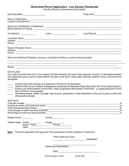
Watershed Permit Application - Low Density ResidentialSite Plan Review by Watershed AdministratorDate Submitted:____________________Filing Fee $ _______________________Name <strong>of</strong> Subdivision: ________________________________________________________________________________Location <strong>of</strong> Subdivision: ______________________________________________________________________________Name and Classification <strong>of</strong> Watershed: __________________________________________________________________Street Address <strong>of</strong> Property: ___________________________________________________________________________Tax Block(s): ____________ Lot(s): ____________________ Lot <strong>of</strong> Record: _____________________Contractor Name: ___________________________________________________________________________________Address: __________________________________________________________________________________________Phone: ___________________________________________________________________________________________Name <strong>of</strong> Property Owner: _____________________________________________________________________________Address: __________________________________________________________________________________________Phone: ___________________________________________________________________________________________Name and Address <strong>of</strong> Engineer, Surveyor, Landscape Architect, or person preparing plans:_____________________________________________________________________________________________________________________________________________________________________________________________________________________________________________________________________________________________________Phone: ___________________________________________________________________________________________SITE PLANSAt a scale <strong>of</strong> not less than one (1) inch equals 100 feet indicating: the name <strong>of</strong> the engineer, surveyor, or landscape architectwith registration seal, or person responsible for the plan; north arrow; scale; date; total area, stated in acres, <strong>of</strong> the land to bedeveloped._____ Property lines with bearings and distances <strong>of</strong> the land to be developed;_____ Stream buffer access, streams, drainageways, floodways and floodway fringe areas within 100' <strong>of</strong> the subject property._____ Erosion and Sedimentation Control Plan, and/or Engineered Stormwater Control Plan. (2 copies) Required if morethan 20,000 sf is to be graded._____ All existing streets, utilities, drainage, right-<strong>of</strong>-ways, easements or other dedications to the use <strong>of</strong> public or other withdimensions indicated.SITE DATATotal site acreage: _________________________________________________________________________________sfExisting structures and impervious areas: _______________________________________________________________sfTotal undeveloped site acreage: _______________________________________________________________________sfTotal acreage <strong>of</strong> impervious area proposed: _____________________________________________________________sfPercentage <strong>of</strong> impervious area proposed: _______________________________________________________________%Streets: Public__________Private__________Utilities: Water: Public__________ Private__________Sewer: Public__________ Private__________Other: ____________________________________Note:Filing this application form gives the <strong>Town</strong> permission to enter property for inspections.