Geoinformation for Disaster and Risk Management - ISPRS
Geoinformation for Disaster and Risk Management - ISPRS
Geoinformation for Disaster and Risk Management - ISPRS
You also want an ePaper? Increase the reach of your titles
YUMPU automatically turns print PDFs into web optimized ePapers that Google loves.
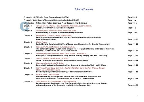
Table of Contents<br />
Preface by UN Office <strong>for</strong> Outer Space Affairs (UNOOSA) Page iii - iii<br />
Preface by Joint Board of Geospatial In<strong>for</strong>mation Societies (JB GIS) Page v - v<br />
C<br />
Introduction: Orhan Altan, Robert Backhaus, Piero Boccardo, Sisi Zlatanova Page vii - x<br />
Chapter 1:<br />
Chapter 2:<br />
Chapter 3:<br />
Chapter 4:<br />
Chapter 5:<br />
Chapter 6:<br />
Chapter 7:<br />
Chapter 8:<br />
Chapter 9:<br />
Chapter 10:<br />
Chapter 11:<br />
Tom De Groeve, Thomas Peter, Aless<strong>and</strong>ro Annunziato, Luca Vernaccini.<br />
Global <strong>Disaster</strong> Alert <strong>and</strong> Coordination System Page 1 - 6<br />
Andrea Ajmar, Fabio Giulio Tonolo, Francesca Perez.<br />
Flood Mapping in Support of Humanitarian Organizations Page 7 - 12<br />
Dieter Oertel, Eckehard Lorenz, Winfried Halle<br />
Detection <strong>and</strong> Monitoring of Wildfires by a Constellation of Small Satellites with<br />
Infrared Sensor Systems Page 13 - 17<br />
Shirish Ravan.<br />
Spatial Data to Complement the Use of Space-based In<strong>for</strong>mation <strong>for</strong> <strong>Disaster</strong> <strong>Management</strong> Page 19 - 23<br />
Richard A Kidd, Ian McCallum, M. Yakob Ishadamy.<br />
The Benefit of High Resolution Aerial Imagery <strong>for</strong> Topographic Mapping <strong>and</strong> <strong>Disaster</strong> Recovery:<br />
Lessons Learnt from the 2004 Indonesian Tsunami Page 25 - 30<br />
Andrea Ajmar, Piero Boccardo, Fabio Giulio Tonolo, Carlos Veloso.<br />
Earthquake Damage Assessment Using Remote Sensing Imagery. The Haiti Case Study. Page 31 - 37<br />
Suju Li, Yida Fan, Siquan Yang, Lei Wang.<br />
Space Technology Application <strong>for</strong> Wenchuan Earthquake Relief Page 39 - 44<br />
Stanley A. Morain, Amelia M. Budge.<br />
Suggested Practices <strong>for</strong> Forecasting Dust Storms <strong>and</strong> Intervening Their Health Effects Page 45 - 50<br />
Olaf Kranz, Gunter Zeug, Dirk Tiede, Stephen Cl<strong>and</strong>illon, Denis Bruckert, Thomas Kemper,<br />
Stefan Lang, Mathilde Caspard.<br />
Monitoring Refugee/IDP Camps to Support International Relief Action Page 51 - 56<br />
Norman Kerle, Olaf Neussner.<br />
Local Flood Early Warning Based on Low-Tech Geoin<strong>for</strong>matics Approaches <strong>and</strong><br />
Community Involvement. A Solution For Rural Areas in The Philippines Page 57 - 62<br />
Jessica Glabsch, Otto Heunecke, Stefan Schuhbäck.<br />
Development <strong>and</strong> Testing of a Low Cost Sensor PDGNSS L<strong>and</strong>slide Monitoring System<br />
using the Example of the Aggenalm L<strong>and</strong>slide in the Bavarian Alps Page 63 - 70<br />
xi


