

Geoinformation for Disaster and Risk Management - ISPRS
Geoinformation for Disaster and Risk Management - ISPRS
Geoinformation for Disaster and Risk Management - ISPRS

You also want an ePaper? Increase the reach of your titles
YUMPU automatically turns print PDFs into web optimized ePapers that Google loves.
The International Society <strong>for</strong><br />
Photogrammetry <strong>and</strong> Remote<br />
Sensing (<strong>ISPRS</strong>)<br />
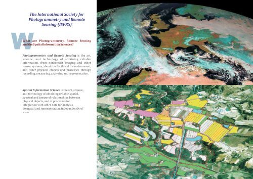
WWhat are Photogrammetry, Remote Sensing<br />
<strong>and</strong> the Spatial In<strong>for</strong>mation Sciences?<br />
Photogrammetry <strong>and</strong> Remote Sensing is the art,<br />
science, <strong>and</strong> technology of obtaining reliable<br />
in<strong>for</strong>mation, from noncontact imaging <strong>and</strong> other<br />
sensor systems, about the Earth <strong>and</strong> its environment,<br />
<strong>and</strong> other physical objects <strong>and</strong> processes through<br />
recording, measuring, analyzing <strong>and</strong> representation.<br />
Spatial In<strong>for</strong>mation Science is the art, science,<br />
<strong>and</strong> technology of obtaining reliable spatial,<br />
spectral <strong>and</strong> temporal relationships between<br />
physical objects, <strong>and</strong> of processes <strong>for</strong><br />
integration with other data <strong>for</strong> analysis,<br />
portrayal <strong>and</strong> representation, independently of<br />
scale.<br />
135


