Els mapes del territori de Catalunya durant dos-cents anys, 1600-1800
Els mapes del territori de Catalunya durant dos-cents anys, 1600-1800
Els mapes del territori de Catalunya durant dos-cents anys, 1600-1800
You also want an ePaper? Increase the reach of your titles
YUMPU automatically turns print PDFs into web optimized ePapers that Google loves.
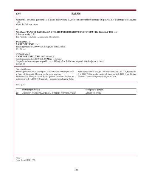
1705 HARRIS<br />
Mapa inclòs en un full que conté: (a) el plànol <strong>de</strong> Barcelona [s.], i dues finestres amb (b) el mapa d’Espanya [i.e.] i (c) el mapa <strong>de</strong> <strong>Catalunya</strong><br />
[i.d.].<br />
Mi<strong>de</strong>s <strong><strong>de</strong>l</strong> full 30 x 36 cm<br />
a)<br />
AN EXACT PLAN OF BARCELONA WITH ITS FORTIFICATIONS SURVEYED by the French A o 1705 [s.c.]<br />
I. Harris sculp. [i.d.]<br />
400 Fathoms [= 6,8 cm]. Llegenda <strong>de</strong> 19 números.<br />
b) [finestra i.e.]<br />
A MAPP OF SPAIN [s.e.]<br />
Escala aproximada 1:9 000 000. Longitu<strong>de</strong> from London.<br />
10 x 14 cm<br />
c) [finestra i.d.]<br />
A MAPP OF CATALONIA [títol liminar, s.]<br />
Escala aproximada 1:2 500 000. 60/Miles [= 6,1 cm]<br />
Orografia amb muntanyes en perfil i xarxa hidrogràfica. Poblacions en perfil. - Ombrejat <strong>de</strong> la costa.<br />
13 x 15 cm<br />
Historial <strong><strong>de</strong>l</strong> mapa<br />
El mapa probablement va servir per a il·lustrar algun llibre anglès sobre<br />
la Guerra <strong>de</strong> Successió, llibre que no s’ha pogut localitzar.<br />
El diccionari <strong>de</strong> Tooley cita <strong>dos</strong> I. Harris que van treballar a Londres els<br />
mateixos <strong>anys</strong>: 1- (a.1680-1740) gravador i marxant; treballa per a Collins<br />
Taula-guia<br />
acompanyat per [s.] acompanyat per [i.e.]<br />
42-1 AN EXACT PLAN OF BARCELONA WITH ITS FORTIFICATIONS A MAPP OF SPAIN<br />
Fonts<br />
Soley-Gasset [100]. - T-1.<br />
126<br />
1693, Mor<strong>de</strong>n 1696, Gascoigne 1700-1703, Prat 1705, Cole 1710, Senex 1719;<br />
2- (a.1656-1746) gravador i cartògraf. Mapes <strong>de</strong> Moll, 1705; David Mortier,<br />
Nouveau Theatre <strong>de</strong> la gran<strong>de</strong> Bretagne 1715-28.


