Els mapes del territori de Catalunya durant dos-cents anys, 1600-1800
Els mapes del territori de Catalunya durant dos-cents anys, 1600-1800
Els mapes del territori de Catalunya durant dos-cents anys, 1600-1800

Create successful ePaper yourself
Turn your PDF publications into a flip-book with our unique Google optimized e-Paper software.
[1791] REILLY<br />
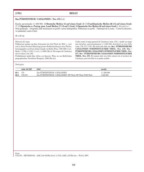
Das FÜRSTENTHUM / CATALONIEN. / Nro. 575 [i.d.]<br />
Escala aproximada 1:1 200 000. 15/Deutsche Meilen 15 auf einen Grad; 26 1/2/Castilianische Meilen 26 1/2 auf einen Grad;<br />
17 1/2/Spanische u. Portug. gem. Land Meilen 17 1/2 auf 1 Grad; 20/Spanische See Meilen 20 auf einen Grad [= 8,8 cm] [i.c.]<br />
Orla graduada. - Orografia amb muntanyes en perfil i xarxa hidrogràfica. Poblacions en perfil. - Ombrejat <strong>de</strong> la costa. - Cartel·la <strong>de</strong>corativa<br />
[pe<strong>de</strong>stal], amb el títol.<br />
20 x 25 cm<br />
Historial <strong><strong>de</strong>l</strong> mapa<br />
Publicat per primer cop dins: Schauplatz <strong>de</strong>r fünf Theile <strong>de</strong>r Welt, [...] ach<br />
und zu Anton Friedrich Büschings grosser Erdbeschreibung in drey Theilen,<br />
herausgegeben von Franz Johan Joseph von Reilly. Wien, 1789-1806. 4 vol.:<br />
Band. 1 (1789), 2 (1791), 3 (s.d.), 4 (1806) [Rei A]. <strong>Els</strong> <strong>mapes</strong> <strong>de</strong> <strong>Catalunya</strong><br />
són al volum 2, <strong>de</strong> 1791.<br />
Probablement també dins: [Atlas von Spanien. Wien, im von Reilly’schen<br />
geographischen Verschleiss Komptoir, 1809] [Rei An].<br />
Taula-guia<br />
Fonts<br />
COL[79]. - IMCOS[60-63]. - AAK.1,84-102(Rei A[vol. 3, 575]); AAK.1,107(Rei An). - Ph-LG, 5997.<br />
L’atles conté el mapa general <strong>de</strong> <strong>Catalunya</strong> (núm. 575), i també un mapa<br />
més <strong>de</strong>tallat, aproximadament a 1:320 000, distribuït en tres fulls<br />
(núm. 576, 577 i 578). <strong>Els</strong> títols <strong><strong>de</strong>l</strong>s fulls són: Des / FÜRESTENHUMS<br />
CATALONIEN NORDWESTLICHER THEIL. Nro. 576; Des /<br />
FÜRESTENHUMS CATALONIEN SÜDWESTLICHER THEIL. Nro.<br />
577; Des / FÜRESTENHUMS CATALONIEN NORDOESTLICHER<br />
THEIL. Nro. 578. El conjunt <strong><strong>de</strong>l</strong>s tres fulls cobreix tot el <strong>territori</strong> <strong>de</strong><br />
<strong>Catalunya</strong>, però els fulls no es po<strong>de</strong>n acoblar.<br />
núm. <strong>de</strong> full títol escala<br />
62-1 575 Das FÜRSTENTHUM / CATALONIEN 1:1 200 000<br />
62-2 576-578 Das FÜRSTENTHUM / CATALONIEN: NW Theil; SW Theil; NOE Theil 1:320 000<br />
166