

Atomic Weapons Research Establishment. Orford ... - English Heritage
Atomic Weapons Research Establishment. Orford ... - English Heritage
Atomic Weapons Research Establishment. Orford ... - English Heritage

You also want an ePaper? Increase the reach of your titles
YUMPU automatically turns print PDFs into web optimized ePapers that Google loves.
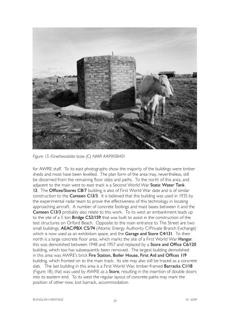
Figure 15: Kinetheodolite base (C) NMR AA99/08401<br />
for AWRE staff. To its east photographs show the majority of the buildings were timber<br />
sheds and most have been levelled. The plan form of the area may, nevertheless, still<br />
be discerned from the remaining floor slabs and paths. To the north of this area, and<br />
adjacent to the main west to east track is a Second World War Static Water Tank<br />
13. The Offices/Stores C8/7 building is also of First World War date and is of similar<br />
construction to the Canteen C13/3. It is believed that this building was used in 1935 by<br />
the experimental radar team to prove the effectiveness of this technology in locating<br />
approaching aircraft. A number of concrete footings and mast bases between it and the<br />
Canteen C13/3 probably also relate to this work. To its west an embankment leads up<br />
to the site of a 5 ton Bridge C52/159 that was built to assist in the construction of the<br />
test structures on <strong>Orford</strong> Beach. Opposite to the main entrance to The Street are two<br />
small buildings, AEAC/PBX C5/74 (<strong>Atomic</strong> Energy Authority C/Private Branch Exchange)<br />
which is now used as an exhibition space, and the Garage and Store C4/131. To their<br />
north is a large concrete floor area, which marks the site of a First World War Hangar,<br />
this was demolished between 1948 and 1957 and replaced by a Store and Office C6/120<br />
building, which too has subsequently been removed. The largest building demolished<br />
in this area was AWRE’s brick Fire Station, Boiler House, First Aid and Offices 119<br />
building, which fronted on to the main track. Its site may also still be traced as a concrete<br />
slab. The last building in this area is a First World War, timber-framed Barracks C1/18<br />
(Figure 18), that was used by AWRE as a Store, resulting in the insertion of double doors<br />
into its eastern end. To its west the regular layout of concrete paths may mark the<br />
position of other now, lost barrack, accommodation.<br />
© ENGLISH HERITAGE<br />
29<br />
10 - 2009


