Scientific and Technical Aerospace Reports Volume 38 July 28, 2000
Scientific and Technical Aerospace Reports Volume 38 July 28, 2000
Scientific and Technical Aerospace Reports Volume 38 July 28, 2000
You also want an ePaper? Increase the reach of your titles
YUMPU automatically turns print PDFs into web optimized ePapers that Google loves.
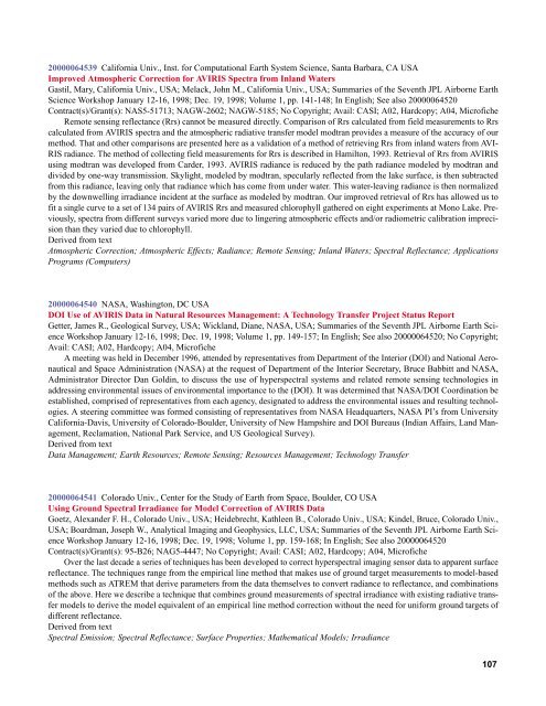
<strong>2000</strong>0064539 California Univ., Inst. for Computational Earth System Science, Santa Barbara, CA USA<br />
Improved Atmospheric Correction for AVIRIS Spectra from Inl<strong>and</strong> Waters<br />
Gastil, Mary, California Univ., USA; Melack, John M., California Univ., USA; Summaries of the Seventh JPL Airborne Earth<br />
Science Workshop January 12-16, 1998; Dec. 19, 1998; <strong>Volume</strong> 1, pp. 141-148; In English; See also <strong>2000</strong>0064520<br />
Contract(s)/Grant(s): NAS5-51713; NAGW-2602; NAGW-5185; No Copyright; Avail: CASI; A02, Hardcopy; A04, Microfiche<br />
Remote sensing reflectance (Rrs) cannot be measured directly. Comparison of Rrs calculated from field measurements to Rrs<br />
calculated from AVIRIS spectra <strong>and</strong> the atmospheric radiative transfer model modtran provides a measure of the accuracy of our<br />
method. That <strong>and</strong> other comparisons are presented here as a validation of a method of retrieving Rrs from inl<strong>and</strong> waters from AVI-<br />
RIS radiance. The method of collecting field measurements for Rrs is described in Hamilton, 1993. Retrieval of Rrs from AVIRIS<br />
using modtran was developed from Carder, 1993. AVIRIS radiance is reduced by the path radiance modeled by modtran <strong>and</strong><br />
divided by one-way transmission. Skylight, modeled by modtran, specularly reflected from the lake surface, is then subtracted<br />
from this radiance, leaving only that radiance which has come from under water. This water-leaving radiance is then normalized<br />
by the downwelling irradiance incident at the surface as modeled by modtran. Our improved retrieval of Rrs has allowed us to<br />
fit a single curve to a set of 134 pairs of AVIRIS Rrs <strong>and</strong> measured chlorophyll gathered on eight experiments at Mono Lake. Previously,<br />
spectra from different surveys varied more due to lingering atmospheric effects <strong>and</strong>/or radiometric calibration imprecision<br />
than they varied due to chlorophyll.<br />
Derived from text<br />
Atmospheric Correction; Atmospheric Effects; Radiance; Remote Sensing; Inl<strong>and</strong> Waters; Spectral Reflectance; Applications<br />
Programs (Computers)<br />
<strong>2000</strong>0064540 NASA, Washington, DC USA<br />
DOI Use of AVIRIS Data in Natural Resources Management: A Technology Transfer Project Status Report<br />
Getter, James R., Geological Survey, USA; Wickl<strong>and</strong>, Diane, NASA, USA; Summaries of the Seventh JPL Airborne Earth Science<br />
Workshop January 12-16, 1998; Dec. 19, 1998; <strong>Volume</strong> 1, pp. 149-157; In English; See also <strong>2000</strong>0064520; No Copyright;<br />
Avail: CASI; A02, Hardcopy; A04, Microfiche<br />
A meeting was held in December 1996, attended by representatives from Department of the Interior (DOI) <strong>and</strong> National Aeronautical<br />
<strong>and</strong> Space Administration (NASA) at the request of Department of the Interior Secretary, Bruce Babbitt <strong>and</strong> NASA,<br />
Administrator Director Dan Goldin, to discuss the use of hyperspectral systems <strong>and</strong> related remote sensing technologies in<br />
addressing environmental issues of environmental importance to the (DOI). It was determined that NASA/DOI Coordination be<br />
established, comprised of representatives from each agency, designated to address the environmental issues <strong>and</strong> resulting technologies.<br />
A steering committee was formed consisting of representatives from NASA Headquarters, NASA PI’s from University<br />
California-Davis, University of Colorado-Boulder, University of New Hampshire <strong>and</strong> DOI Bureaus (Indian Affairs, L<strong>and</strong> Management,<br />
Reclamation, National Park Service, <strong>and</strong> US Geological Survey).<br />
Derived from text<br />
Data Management; Earth Resources; Remote Sensing; Resources Management; Technology Transfer<br />
<strong>2000</strong>0064541 Colorado Univ., Center for the Study of Earth from Space, Boulder, CO USA<br />
Using Ground Spectral Irradiance for Model Correction of AVIRIS Data<br />
Goetz, Alex<strong>and</strong>er F. H., Colorado Univ., USA; Heidebrecht, Kathleen B., Colorado Univ., USA; Kindel, Bruce, Colorado Univ.,<br />
USA; Boardman, Joseph W., Analytical Imaging <strong>and</strong> Geophysics, LLC, USA; Summaries of the Seventh JPL Airborne Earth Science<br />
Workshop January 12-16, 1998; Dec. 19, 1998; <strong>Volume</strong> 1, pp. 159-168; In English; See also <strong>2000</strong>0064520<br />
Contract(s)/Grant(s): 95-B26; NAG5-4447; No Copyright; Avail: CASI; A02, Hardcopy; A04, Microfiche<br />
Over the last decade a series of techniques has been developed to correct hyperspectral imaging sensor data to apparent surface<br />
reflectance. The techniques range from the empirical line method that makes use of ground target measurements to model-based<br />
methods such as ATREM that derive parameters from the data themselves to convert radiance to reflectance, <strong>and</strong> combinations<br />
of the above. Here we describe a technique that combines ground measurements of spectral irradiance with existing radiative transfer<br />
models to derive the model equivalent of an empirical line method correction without the need for uniform ground targets of<br />
different reflectance.<br />
Derived from text<br />
Spectral Emission; Spectral Reflectance; Surface Properties; Mathematical Models; Irradiance<br />
107


