Airport Master Plan 2012 - City of Waterville
Airport Master Plan 2012 - City of Waterville
Airport Master Plan 2012 - City of Waterville

Create successful ePaper yourself
Turn your PDF publications into a flip-book with our unique Google optimized e-Paper software.
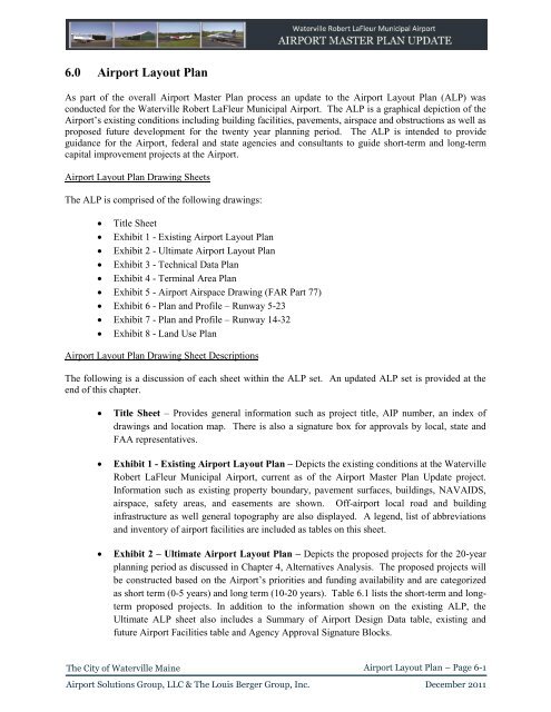
6.0 <strong>Airport</strong> Layout <strong>Plan</strong><br />
As part <strong>of</strong> the overall <strong>Airport</strong> <strong>Master</strong> <strong>Plan</strong> process an update to the <strong>Airport</strong> Layout <strong>Plan</strong> (ALP) was<br />
conducted for the <strong>Waterville</strong> Robert LaFleur Municipal <strong>Airport</strong>. The ALP is a graphical depiction <strong>of</strong> the<br />
<strong>Airport</strong>’s existing conditions including building facilities, pavements, airspace and obstructions as well as<br />
proposed future development for the twenty year planning period. The ALP is intended to provide<br />
guidance for the <strong>Airport</strong>, federal and state agencies and consultants to guide short-term and long-term<br />
capital improvement projects at the <strong>Airport</strong>.<br />
<strong>Airport</strong> Layout <strong>Plan</strong> Drawing Sheets<br />
The ALP is comprised <strong>of</strong> the following drawings:<br />
Title Sheet<br />
Exhibit 1 - Existing <strong>Airport</strong> Layout <strong>Plan</strong><br />
Exhibit 2 - Ultimate <strong>Airport</strong> Layout <strong>Plan</strong><br />
Exhibit 3 - Technical Data <strong>Plan</strong><br />
Exhibit 4 - Terminal Area <strong>Plan</strong><br />
Exhibit 5 - <strong>Airport</strong> Airspace Drawing (FAR Part 77)<br />
Exhibit 6 - <strong>Plan</strong> and Pr<strong>of</strong>ile – Runway 5-23<br />
Exhibit 7 - <strong>Plan</strong> and Pr<strong>of</strong>ile – Runway 14-32<br />
Exhibit 8 - Land Use <strong>Plan</strong><br />
<strong>Airport</strong> Layout <strong>Plan</strong> Drawing Sheet Descriptions<br />
The following is a discussion <strong>of</strong> each sheet within the ALP set. An updated ALP set is provided at the<br />
end <strong>of</strong> this chapter.<br />
<br />
<br />
<br />
Title Sheet – Provides general information such as project title, AIP number, an index <strong>of</strong><br />
drawings and location map. There is also a signature box for approvals by local, state and<br />
FAA representatives.<br />
Exhibit 1 - Existing <strong>Airport</strong> Layout <strong>Plan</strong> – Depicts the existing conditions at the <strong>Waterville</strong><br />
Robert LaFleur Municipal <strong>Airport</strong>, current as <strong>of</strong> the <strong>Airport</strong> <strong>Master</strong> <strong>Plan</strong> Update project.<br />
Information such as existing property boundary, pavement surfaces, buildings, NAVAIDS,<br />
airspace, safety areas, and easements are shown. Off-airport local road and building<br />
infrastructure as well general topography are also displayed. A legend, list <strong>of</strong> abbreviations<br />
and inventory <strong>of</strong> airport facilities are included as tables on this sheet.<br />
Exhibit 2 – Ultimate <strong>Airport</strong> Layout <strong>Plan</strong> – Depicts the proposed projects for the 20-year<br />
planning period as discussed in Chapter 4, Alternatives Analysis. The proposed projects will<br />
be constructed based on the <strong>Airport</strong>’s priorities and funding availability and are categorized<br />
as short term (0-5 years) and long term (10-20 years). Table 6.1 lists the short-term and longterm<br />
proposed projects. In addition to the information shown on the existing ALP, the<br />
Ultimate ALP sheet also includes a Summary <strong>of</strong> <strong>Airport</strong> Design Data table, existing and<br />
future <strong>Airport</strong> Facilities table and Agency Approval Signature Blocks.<br />
The <strong>City</strong> <strong>of</strong> <strong>Waterville</strong> Maine<br />
<strong>Airport</strong> Layout <strong>Plan</strong> – Page 6-1<br />
<strong>Airport</strong> Solutions Group, LLC & The Louis Berger Group, Inc. December 2011