ClimateChange Assessment Guide.pdf - University of Waterloo
ClimateChange Assessment Guide.pdf - University of Waterloo
ClimateChange Assessment Guide.pdf - University of Waterloo
You also want an ePaper? Increase the reach of your titles
YUMPU automatically turns print PDFs into web optimized ePapers that Google loves.
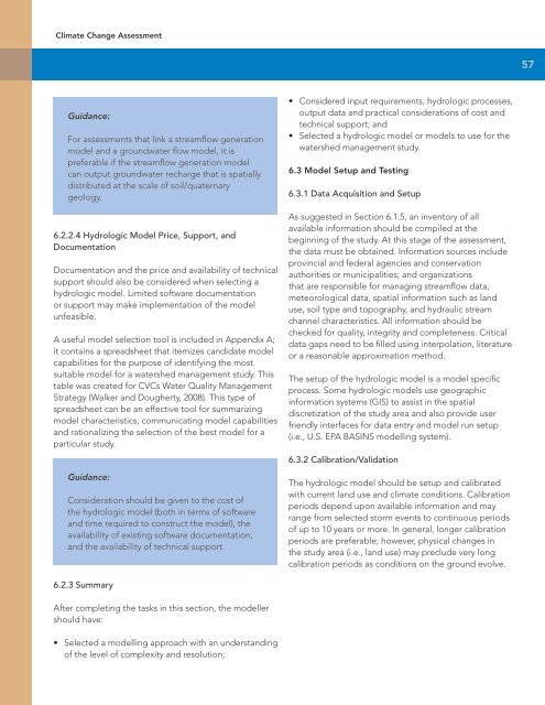
Climate Change <strong>Assessment</strong>57Guidance:For assessments that link a streamflow generationmodel and a groundwater flow model, it ispreferable if the streamflow generation modelcan output groundwater recharge that is spatiallydistributed at the scale <strong>of</strong> soil/quaternarygeology.6.2.2.4 Hydrologic Model Price, Support, andDocumentationDocumentation and the price and availability <strong>of</strong> technicalsupport should also be considered when selecting ahydrologic model. Limited s<strong>of</strong>tware documentationor support may make implementation <strong>of</strong> the modelunfeasible.A useful model selection tool is included in Appendix A;it contains a spreadsheet that itemizes candidate modelcapabilities for the purpose <strong>of</strong> identifying the mostsuitable model for a watershed management study. Thistable was created for CVCs Water Quality ManagementStrategy (Walker and Dougherty, 2008). This type <strong>of</strong>spreadsheet can be an effective tool for summarizingmodel characteristics, communicating model capabilitiesand rationalizing the selection <strong>of</strong> the best model for aparticular study.Guidance:Consideration should be given to the cost <strong>of</strong>the hydrologic model (both in terms <strong>of</strong> s<strong>of</strong>twareand time required to construct the model), theavailability <strong>of</strong> existing s<strong>of</strong>tware documentation,and the availability <strong>of</strong> technical support.• Considered input requirements, hydrologic processes,output data and practical considerations <strong>of</strong> cost andtechnical support; and• Selected a hydrologic model or models to use for thewatershed management study.6.3 Model Setup and Testing6.3.1 Data Acquisition and SetupAs suggested in Section 6.1.5, an inventory <strong>of</strong> allavailable information should be compiled at thebeginning <strong>of</strong> the study. At this stage <strong>of</strong> the assessment,the data must be obtained. Information sources includeprovincial and federal agencies and conservationauthorities or municipalities; and organizationsthat are responsible for managing streamflow data,meteorological data, spatial information such as landuse, soil type and topography, and hydraulic streamchannel characteristics. All information should bechecked for quality, integrity and completeness. Criticaldata gaps need to be filled using interpolation, literatureor a reasonable approximation method.The setup <strong>of</strong> the hydrologic model is a model specificprocess. Some hydrologic models use geographicinformation systems (GIS) to assist in the spatialdiscretization <strong>of</strong> the study area and also provide userfriendly interfaces for data entry and model run setup(i.e., U.S. EPA BASINS modelling system).6.3.2 Calibration/ValidationThe hydrologic model should be setup and calibratedwith current land use and climate conditions. Calibrationperiods depend upon available information and mayrange from selected storm events to continuous periods<strong>of</strong> up to 10 years or more. In general, longer calibrationperiods are preferable; however, physical changes inthe study area (i.e., land use) may preclude very longcalibration periods as conditions on the ground evolve.6.2.3 SummaryAfter completing the tasks in this section, the modellershould have:• Selected a modelling approach with an understanding<strong>of</strong> the level <strong>of</strong> complexity and resolution;


