

Download the entire proceedings as an Adobe PDF - Eastern Snow ...
Download the entire proceedings as an Adobe PDF - Eastern Snow ...
Download the entire proceedings as an Adobe PDF - Eastern Snow ...

You also want an ePaper? Increase the reach of your titles
YUMPU automatically turns print PDFs into web optimized ePapers that Google loves.
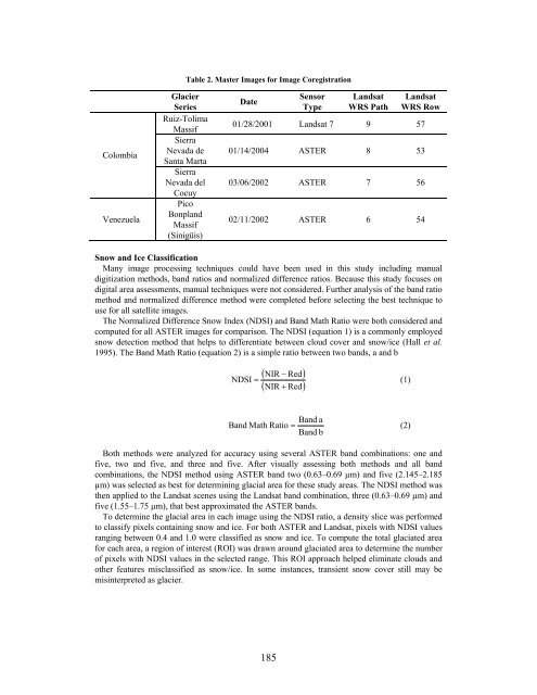
Colombia<br />
Venezuela<br />
Glacier<br />
Series<br />
Ruiz-Tolima<br />
M<strong>as</strong>sif<br />
Sierra<br />
Nevada de<br />
S<strong>an</strong>ta Marta<br />
Sierra<br />
Nevada del<br />
Cocuy<br />
Pico<br />
Bonpl<strong>an</strong>d<br />
M<strong>as</strong>sif<br />
(Sinigüis)<br />
Table 2. M<strong>as</strong>ter Images for Image Coregistration<br />
Date<br />
185<br />
Sensor<br />
Type<br />
L<strong>an</strong>dsat<br />
WRS Path<br />
L<strong>an</strong>dsat<br />
WRS Row<br />
01/28/2001 L<strong>an</strong>dsat 7 9 57<br />
01/14/2004 ASTER 8 53<br />
03/06/2002 ASTER 7 56<br />
02/11/2002 ASTER 6 54<br />
<strong>Snow</strong> <strong>an</strong>d Ice Cl<strong>as</strong>sification<br />
M<strong>an</strong>y image processing techniques could have been used in this study including m<strong>an</strong>ual<br />
digitization methods, b<strong>an</strong>d ratios <strong>an</strong>d normalized difference ratios. Because this study focuses on<br />
digital area <strong>as</strong>sessments, m<strong>an</strong>ual techniques were not considered. Fur<strong>the</strong>r <strong>an</strong>alysis of <strong>the</strong> b<strong>an</strong>d ratio<br />
method <strong>an</strong>d normalized difference method were completed before selecting <strong>the</strong> best technique to<br />
use for all satellite images.<br />
The Normalized Difference <strong>Snow</strong> Index (NDSI) <strong>an</strong>d B<strong>an</strong>d Math Ratio were both considered <strong>an</strong>d<br />
computed for all ASTER images for comparison. The NDSI (equation 1) is a commonly employed<br />
snow detection method that helps to differentiate between cloud cover <strong>an</strong>d snow/ice (Hall et al.<br />
1995). The B<strong>an</strong>d Math Ratio (equation 2) is a simple ratio between two b<strong>an</strong>ds, a <strong>an</strong>d b<br />
( NIR − Red)<br />
( NIR + Red)<br />
NDSI = (1)<br />
B<strong>an</strong>d a<br />
B<strong>an</strong>d Math Ratio = (2)<br />
B<strong>an</strong>d b<br />
Both methods were <strong>an</strong>alyzed for accuracy using several ASTER b<strong>an</strong>d combinations: one <strong>an</strong>d<br />
five, two <strong>an</strong>d five, <strong>an</strong>d three <strong>an</strong>d five. After visually <strong>as</strong>sessing both methods <strong>an</strong>d all b<strong>an</strong>d<br />
combinations, <strong>the</strong> NDSI method using ASTER b<strong>an</strong>d two (0.63–0.69 µm) <strong>an</strong>d five (2.145–2.185<br />
µm) w<strong>as</strong> selected <strong>as</strong> best for determining glacial area for <strong>the</strong>se study are<strong>as</strong>. The NDSI method w<strong>as</strong><br />
<strong>the</strong>n applied to <strong>the</strong> L<strong>an</strong>dsat scenes using <strong>the</strong> L<strong>an</strong>dsat b<strong>an</strong>d combination, three (0.63–0.69 µm) <strong>an</strong>d<br />
five (1.55–1.75 µm), that best approximated <strong>the</strong> ASTER b<strong>an</strong>ds.<br />
To determine <strong>the</strong> glacial area in each image using <strong>the</strong> NDSI ratio, a density slice w<strong>as</strong> performed<br />
to cl<strong>as</strong>sify pixels containing snow <strong>an</strong>d ice. For both ASTER <strong>an</strong>d L<strong>an</strong>dsat, pixels with NDSI values<br />
r<strong>an</strong>ging between 0.4 <strong>an</strong>d 1.0 were cl<strong>as</strong>sified <strong>as</strong> snow <strong>an</strong>d ice. To compute <strong>the</strong> total glaciated area<br />
for each area, a region of interest (ROI) w<strong>as</strong> drawn around glaciated area to determine <strong>the</strong> number<br />
of pixels with NDSI values in <strong>the</strong> selected r<strong>an</strong>ge. This ROI approach helped eliminate clouds <strong>an</strong>d<br />
o<strong>the</strong>r features miscl<strong>as</strong>sified <strong>as</strong> snow/ice. In some inst<strong>an</strong>ces, tr<strong>an</strong>sient snow cover still may be<br />
misinterpreted <strong>as</strong> glacier.


