

Nepal Hazard Risk Assessment - Asia-Pacific Gateway for Disaster ...
Nepal Hazard Risk Assessment - Asia-Pacific Gateway for Disaster ...
Nepal Hazard Risk Assessment - Asia-Pacific Gateway for Disaster ...

Create successful ePaper yourself
Turn your PDF publications into a flip-book with our unique Google optimized e-Paper software.
<strong>Nepal</strong> <strong>Hazard</strong> <strong>Risk</strong> <strong>Assessment</strong><br />
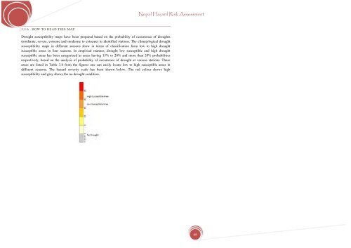
3.5.6 HOW TO READ THIS MAP<br />
Drought susceptibility maps have been prepared based on the probability of occurrence of droughts<br />
(moderate, severe, extreme and moderate to extreme) in identified stations. The climatological drought<br />
susceptibility maps in different seasons show in terms of classification from low to high drought<br />
susceptible areas in four seasons. In empirical manner, drought low susceptible and high drought<br />
susceptible areas has been categorized as areas having 15% to 20% and more than 20% probabilities<br />
respectively, based on the analysis of probability of occurrence of drought at various stations. These<br />
areas are listed in Table 3.8 from the figures one can easily locate low to high susceptible areas in<br />
different seasons. The hazard severity scale has been shown below. The red colour shows high<br />
susceptibility and grey shows the no drought condition.<br />
68


