Fisheries in the Southern Border Zone of Takamanda - Impact ...
Fisheries in the Southern Border Zone of Takamanda - Impact ...
Fisheries in the Southern Border Zone of Takamanda - Impact ...

You also want an ePaper? Increase the reach of your titles
YUMPU automatically turns print PDFs into web optimized ePapers that Google loves.
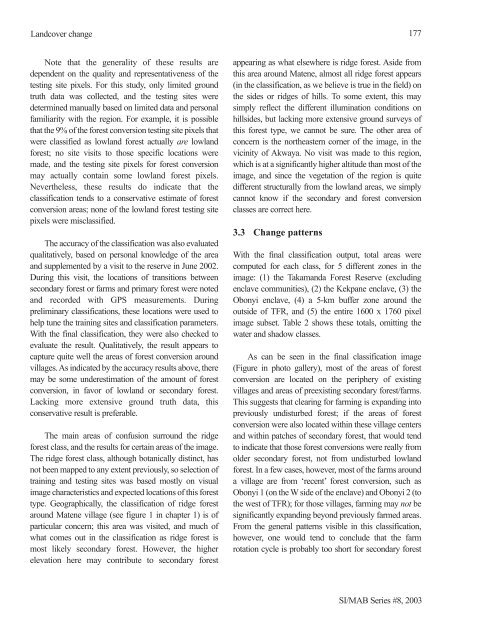
Landcover change<br />
Note that <strong>the</strong> generality <strong>of</strong> <strong>the</strong>se results are<br />
dependent on <strong>the</strong> quality and representativeness <strong>of</strong> <strong>the</strong><br />
test<strong>in</strong>g site pixels. For this study, only limited ground<br />
truth data was collected, and <strong>the</strong> test<strong>in</strong>g sites were<br />
determ<strong>in</strong>ed manually based on limited data and personal<br />
familiarity with <strong>the</strong> region. For example, it is possible<br />
that <strong>the</strong> 9% <strong>of</strong> <strong>the</strong> forest conversion test<strong>in</strong>g site pixels that<br />
were classified as lowland forest actually are lowland<br />
forest; no site visits to those specific locations were<br />
made, and <strong>the</strong> test<strong>in</strong>g site pixels for forest conversion<br />
may actually conta<strong>in</strong> some lowland forest pixels.<br />
Never<strong>the</strong>less, <strong>the</strong>se results do <strong>in</strong>dicate that <strong>the</strong><br />
classification tends to a conservative estimate <strong>of</strong> forest<br />
conversion areas; none <strong>of</strong> <strong>the</strong> lowland forest test<strong>in</strong>g site<br />
pixels were misclassified.<br />
The accuracy <strong>of</strong> <strong>the</strong> classification was also evaluated<br />
qualitatively, based on personal knowledge <strong>of</strong> <strong>the</strong> area<br />
and supplemented by a visit to <strong>the</strong> reserve <strong>in</strong> June 2002.<br />
Dur<strong>in</strong>g this visit, <strong>the</strong> locations <strong>of</strong> transitions between<br />
secondary forest or farms and primary forest were noted<br />
and recorded with GPS measurements. Dur<strong>in</strong>g<br />
prelim<strong>in</strong>ary classifications, <strong>the</strong>se locations were used to<br />
help tune <strong>the</strong> tra<strong>in</strong><strong>in</strong>g sites and classification parameters.<br />
With <strong>the</strong> f<strong>in</strong>al classification, <strong>the</strong>y were also checked to<br />
evaluate <strong>the</strong> result. Qualitatively, <strong>the</strong> result appears to<br />
capture quite well <strong>the</strong> areas <strong>of</strong> forest conversion around<br />
villages. As <strong>in</strong>dicated by <strong>the</strong> accuracy results above, <strong>the</strong>re<br />
may be some underestimation <strong>of</strong> <strong>the</strong> amount <strong>of</strong> forest<br />
conversion, <strong>in</strong> favor <strong>of</strong> lowland or secondary forest.<br />
Lack<strong>in</strong>g more extensive ground truth data, this<br />
conservative result is preferable.<br />
The ma<strong>in</strong> areas <strong>of</strong> confusion surround <strong>the</strong> ridge<br />
forest class, and <strong>the</strong> results for certa<strong>in</strong> areas <strong>of</strong> <strong>the</strong> image.<br />
The ridge forest class, although botanically dist<strong>in</strong>ct, has<br />
not been mapped to any extent previously, so selection <strong>of</strong><br />
tra<strong>in</strong><strong>in</strong>g and test<strong>in</strong>g sites was based mostly on visual<br />
image characteristics and expected locations <strong>of</strong> this forest<br />
type. Geographically, <strong>the</strong> classification <strong>of</strong> ridge forest<br />
around Matene village (see figure 1 <strong>in</strong> chapter 1) is <strong>of</strong><br />
particular concern; this area was visited, and much <strong>of</strong><br />
what comes out <strong>in</strong> <strong>the</strong> classification as ridge forest is<br />
most likely secondary forest. However, <strong>the</strong> higher<br />
elevation here may contribute to secondary forest<br />
appear<strong>in</strong>g as what elsewhere is ridge forest. Aside from<br />
this area around Matene, almost all ridge forest appears<br />
(<strong>in</strong> <strong>the</strong> classification, as we believe is true <strong>in</strong> <strong>the</strong> field) on<br />
<strong>the</strong> sides or ridges <strong>of</strong> hills. To some extent, this may<br />
simply reflect <strong>the</strong> different illum<strong>in</strong>ation conditions on<br />
hillsides, but lack<strong>in</strong>g more extensive ground surveys <strong>of</strong><br />
this forest type, we cannot be sure. The o<strong>the</strong>r area <strong>of</strong><br />
concern is <strong>the</strong> nor<strong>the</strong>astern corner <strong>of</strong> <strong>the</strong> image, <strong>in</strong> <strong>the</strong><br />
vic<strong>in</strong>ity <strong>of</strong> Akwaya. No visit was made to this region,<br />
which is at a significantly higher altitude than most <strong>of</strong> <strong>the</strong><br />
image, and s<strong>in</strong>ce <strong>the</strong> vegetation <strong>of</strong> <strong>the</strong> region is quite<br />
different structurally from <strong>the</strong> lowland areas, we simply<br />
cannot know if <strong>the</strong> secondary and forest conversion<br />
classes are correct here.<br />
3.3 Change patterns<br />
177<br />
With <strong>the</strong> f<strong>in</strong>al classification output, total areas were<br />
computed for each class, for 5 different zones <strong>in</strong> <strong>the</strong><br />
image: (1) <strong>the</strong> <strong>Takamanda</strong> Forest Reserve (exclud<strong>in</strong>g<br />
enclave communities), (2) <strong>the</strong> Kekpane enclave, (3) <strong>the</strong><br />
Obonyi enclave, (4) a 5-km buffer zone around <strong>the</strong><br />
outside <strong>of</strong> TFR, and (5) <strong>the</strong> entire 1600 x 1760 pixel<br />
image subset. Table 2 shows <strong>the</strong>se totals, omitt<strong>in</strong>g <strong>the</strong><br />
water and shadow classes.<br />
As can be seen <strong>in</strong> <strong>the</strong> f<strong>in</strong>al classification image<br />
(Figure <strong>in</strong> photo gallery), most <strong>of</strong> <strong>the</strong> areas <strong>of</strong> forest<br />
conversion are located on <strong>the</strong> periphery <strong>of</strong> exist<strong>in</strong>g<br />
villages and areas <strong>of</strong> preexist<strong>in</strong>g secondary forest/farms.<br />
This suggests that clear<strong>in</strong>g for farm<strong>in</strong>g is expand<strong>in</strong>g <strong>in</strong>to<br />
previously undisturbed forest; if <strong>the</strong> areas <strong>of</strong> forest<br />
conversion were also located with<strong>in</strong> <strong>the</strong>se village centers<br />
and with<strong>in</strong> patches <strong>of</strong> secondary forest, that would tend<br />
to <strong>in</strong>dicate that those forest conversions were really from<br />
older secondary forest, not from undisturbed lowland<br />
forest. In a few cases, however, most <strong>of</strong> <strong>the</strong> farms around<br />
a village are from ‘recent’ forest conversion, such as<br />
Obonyi 1 (on <strong>the</strong> W side <strong>of</strong> <strong>the</strong> enclave) and Obonyi 2 (to<br />
<strong>the</strong> west <strong>of</strong> TFR); for those villages, farm<strong>in</strong>g may not be<br />
significantly expand<strong>in</strong>g beyond previously farmed areas.<br />
From <strong>the</strong> general patterns visible <strong>in</strong> this classification,<br />
however, one would tend to conclude that <strong>the</strong> farm<br />
rotation cycle is probably too short for secondary forest<br />
SI/MAB Series #8, 2003