EXPLORATIONS IN TURKESTAN
EXPLORATIONS IN TURKESTAN
EXPLORATIONS IN TURKESTAN

You also want an ePaper? Increase the reach of your titles
YUMPU automatically turns print PDFs into web optimized ePapers that Google loves.
270<br />
I'IIYSIOGRAPHIY OF CENTRAL-ASIAN DESERTS AND OASES.<br />
GREAT FEATURES OF THE HISSAR VALLEY.<br />
Hissar becomes of interest because of the extraordinary hydrography of its<br />
great valley. Opposite ancient Bactra a 15-mile wide strip of steppe sweeps up<br />
from the Oxus embayment into this valley, continuing northward up the Surkhan<br />
River as far as Karatagh, then bending due east into the wide open valley of Hissar.<br />
This portion of the valley-floor averages 2,500 feet in elevation, and is distinguished<br />
for its utter lack of a trunk-stream. It is, on the other hand, crossed by three<br />
tributaries, the Kanaka, Dushambeh, and Kafirnigan, converging to near the<br />
city of I-issar, where they break through the southern side and flow to the Oxus.<br />
IrTheo 7all1v h--c o ms;vr Tw ,,,l1.lin<br />
*. A l 1U1t Ca AsaAAeU }V/ L ula<br />
I.a1. Li<br />
A;,-ri;, r1,A<br />
11, V ¥I-EUU<br />
between Usbeg camps and Tadjik villages.<br />
Throughout the old khanate it is famed for<br />
its wealth of pasture and the grace of its<br />
horses. The streams descending from the<br />
mountains north are diverted to irrigate a<br />
wide continuity of rice and grain-fields, while<br />
the silk woven in Karatagh and Hissar is<br />
prized throughout the cities of Central Asia.<br />
Ten days were spent in attempting to<br />
decipher the remarkable physiography of the<br />
Hissar valley. The more open part of the<br />
valley east from Karatagh is about 40 miles<br />
long and floored by a grass plain with an<br />
average width of 5 miles, but of irregular<br />
definition. On the northern side this plain is<br />
often bounded by a loess cliff, surmounted by<br />
a narrow belt of steppe rising north. From<br />
this it inclines transversely or southwards on<br />
a grade of about 20 feet to the mile, and<br />
sweeps up again to meet the mature topography<br />
of the southern side. The loess cliff<br />
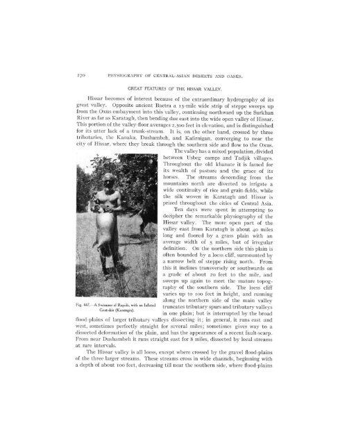
Fig. 447. A Swimmer of Rapids, with an Inflated<br />
varies up to ioo feet in height, and running<br />
along tle northern side ot the main valley<br />
truncates tributary spurs and tributary valleys<br />
Goat-skin (Karategin).<br />
in one plain; but is interrupted by the broad<br />
flood-plains of larger tributary valleys dissecting it; in general, it runs east and<br />
west, sometimes perfectly straight for several miles; sometimes gives way to a<br />
dissected deformlation of the plain, and has the appearance of a recent fault-scarp.<br />
From near Dushambeh it runs straight east for 8 miles, dissected by local streams<br />
at rare intervals.<br />
The HIissar valley is all loess, except where crossed by the gravel flood-plains<br />
of the three larger streams. These streams cross in wide channels, beginning with<br />
a depth of about Ioo feet, decreasing till near the southern side, where flood-plains