rural-urban dynamics_report.pdf - Khazar University
rural-urban dynamics_report.pdf - Khazar University
rural-urban dynamics_report.pdf - Khazar University

You also want an ePaper? Increase the reach of your titles
YUMPU automatically turns print PDFs into web optimized ePapers that Google loves.
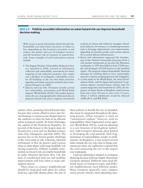
GLOBAL MONITORING REPORT 2013 URBANIZATION AND THE MDGS 141<br />
BOX 3.4 Publicly accessible information on <strong>urban</strong> hazard risk can improve household<br />
decision making<br />
With access to good information about hazard risk,<br />
households can make better decisions on where to<br />
live, depending on the location’s proximity to job<br />
centers, the quality and cost of transport services,<br />
and the location’s risk of exposure to natural hazards.<br />
Some examples of such information systems<br />
include:<br />
• The Bogotá Disaster Vulnerability Reduction Project,<br />
launched in 2006, invested in information<br />
collection and vulnerability assessments for better<br />
targeting of risk reduction measures. One output<br />
was a database of earthquake vulnerability scores<br />
for all buildings in the city that helps prioritize<br />
upgrades and makes insurance markets more transparent<br />
(Prasad et al. 2009).<br />
• Jakarta and Can Tho (Vietnam) recently carried<br />
out vulnerability assessments with World Bank<br />
support (World Bank 2012b). The studies demonstrate<br />
the use of geographically referenced data to<br />
pinpoint hazard risk and to support cost-benefit<br />
analysis of various risk reduction strategies. Floodprone<br />
Jakarta, for instance, is considering measures<br />
such as drainage improvement, river improvement,<br />
upgrading of retention ponds, and various options<br />
for a coastal defense infrastructure.<br />
• Better risk information supported the introduction<br />
of the Turkish Catastrophe Insurance Pool, a<br />
risk transfer mechanism set up after the Marmara<br />
earthquake in 1999 that killed at least 17,000 people<br />
and damaged 120,000 houses in the Istanbul<br />
region. The program reduced households’ financial<br />
damages by enabling them to have catastrophic<br />
insurance and encouraging physical risk mitigation.<br />
• A joint study by the World Bank, the Asian Development<br />
Bank, and the Japan International Cooperation<br />
Agency assessed future climate risks for<br />
coastal megacities and found that by 2050, the frequency<br />
of major floods in Bangkok could increase<br />
from once every 50 years to once every 15 years.<br />
About 1 million inhabitants would be affected<br />
(ADB, JICA, and WB 2010).<br />
centers, often assuming natural hazard risks,<br />
because they cannot afford to move into formal<br />
housing or cannot access cheaper land on<br />
the outskirts of cities for lack of an efficient<br />
<strong>urban</strong> transport system. In Santo Domingo,<br />
the capital of the Dominican Republic, 45<br />
percent of the houses in the largest slum are<br />
located near a river and are flooded in heavy<br />
rains (Fay, Ghesquiere, and Solo 2003). The<br />
poorest live in the lowest-quality dwellings<br />
in the areas most at risk. Likewise, informal<br />
settlements in Rio de Janeiro and Caracas<br />
cling to steep slopes with large landslide risk<br />
during rainstorms. Publicly available information<br />
on hazard risk can enable households<br />
to make informed decisions (box 3.4), but<br />
lack of coordinated land use and mobility<br />
improvements will force them to make suboptimal<br />
choices.<br />
Thus, plans to connect neighborhoods<br />
should be integrated with plans for <strong>urban</strong><br />
land use, especially density plans. For any of<br />
these policies to benefit the city as intended,<br />
they must be integrated throughout the planning<br />
process. Urban transport is often an<br />
“institutional orphan,” however, with its<br />
responsibility often fragmented across agencies<br />
(World Bank 2013a). Land use planning<br />
is a core function of development authorities,<br />
with transport planning often limited<br />
to developing the road network. Such fragmentation<br />
of responsibilities results in inefficiencies.<br />
In Bangalore, a new airport several<br />
miles outside the city was close to being commissioned<br />
when city authorities realized that<br />
the road connecting the city to the airport<br />
was inadequate.<br />
Land use planning is integral to transport<br />
planning because land use largely determines<br />
transport demand. Different cities need different<br />
mixes of transport types, and different<br />
neighborhoods need different modes.<br />
Mass transport generally suits compact<br />
areas; private vehicles, more sprawling ones.