


Create successful ePaper yourself
Turn your PDF publications into a flip-book with our unique Google optimized e-Paper software.
114 Chapter 7: Middle <strong>Lune</strong>sdale and Leck Fell<br />
colouring and bold single span, provides a strong, if<br />
inelegant, contrast. Just south <strong>of</strong> Stanley Bridge <strong>the</strong><br />
<strong>Lune</strong> enters <strong>the</strong> county <strong>of</strong> Lancashire.<br />
Below Kirkby Lonsdale <strong>the</strong> <strong>Lune</strong> is accompanied<br />
by <strong>the</strong> <strong>Lune</strong> Valley Ramble, which continues, mainly<br />
on its west bank, for 26km to Lancaster. Since <strong>the</strong> more<br />
varied and major part <strong>of</strong> <strong>the</strong> <strong>Lune</strong> valley lies to <strong>the</strong> north<br />
<strong>of</strong> Kirkby Lonsdale it should perhaps be called <strong>the</strong><br />
Lower <strong>Lune</strong> Valley Ramble. This may seem pedantic<br />
but <strong>the</strong> <strong>Lune</strong> is <strong>of</strong>ten underrated because <strong>the</strong> remit <strong>of</strong> <strong>the</strong><br />
body most concerned with its support and promotion,<br />
Lancaster City Council, seems to end at <strong>the</strong> county<br />
border. Its 2009 brochure describes <strong>the</strong> <strong>Lune</strong> valley as<br />
“a pocket-sized part <strong>of</strong> England” that runs for “15-20<br />
miles between Lancaster and Kirkby Lonsdale”. Its<br />
‘<strong>of</strong>ficial <strong>Lune</strong> Valley visitor website’ similarly considers<br />
<strong>the</strong> <strong>Lune</strong> valley to begin at Kirkby Lonsdale. So I’ve<br />
managed to write over a hundred pages about a river that<br />
has not existed until this point.<br />
<strong>The</strong> Ramble is a fine walk, <strong>the</strong> part here being best<br />
tackled on a bright morning with <strong>the</strong> sun sparkling on<br />
<strong>the</strong> rippling surface, with distant views <strong>of</strong> Leck Fell,<br />
Ingleborough and <strong>the</strong> Bowland Fells. South <strong>of</strong> <strong>the</strong><br />
bridges oystercatchers assemble in March on <strong>the</strong>ir way<br />
to <strong>the</strong>ir nesting sites on <strong>the</strong> shingle <strong>of</strong> <strong>the</strong> <strong>Lune</strong>. <strong>The</strong>se<br />
birds <strong>of</strong> <strong>the</strong> lower <strong>Lune</strong>, easily recognised by <strong>the</strong>ir long,<br />
straight, dark red bill, red legs, and black and white<br />
colouring, are more <strong>of</strong>ten seen in small numbers, flying<br />
fast, with a shrill call.<br />
One kilometre from Kirkby Lonsdale <strong>the</strong> <strong>Lune</strong><br />
passes under <strong>the</strong> 130km Haweswater Aqueduct, which<br />
transports up to 500 million litres <strong>of</strong> water every day<br />
to Manchester. It was completed in 1955, 36 years after<br />
permission for <strong>the</strong> controversial Haweswater Reservoir<br />
had been granted.<br />
Showing excessive concern for walkers’ safety,<br />
<strong>the</strong>re are warnings to keep on <strong>the</strong> landward side <strong>of</strong> a<br />
small embankment for flood protection. I assume <strong>the</strong><br />
real intention is to keep us away from fishermen, but if<br />
<strong>the</strong>y are absent <strong>the</strong> river-edge is much <strong>the</strong> better place<br />
to be.<br />
<strong>The</strong> next significant tributary is Leck Beck, joining<br />
from <strong>the</strong> east.<br />
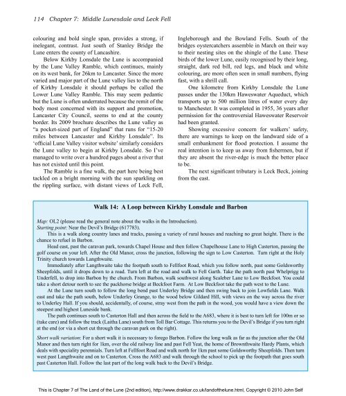
Walk 14: A Loop between Kirkby Lonsdale and Barbon<br />
Map: OL2 (please read <strong>the</strong> general note about <strong>the</strong> walks in <strong>the</strong> Introduction).<br />
Starting point: Near <strong>the</strong> Devil’s Bridge (617783).<br />
This is a walk along country lanes and tracks, passing a variety <strong>of</strong> rural houses and reaching no great height. <strong>The</strong>re is <strong>the</strong><br />
chance to refuel in Barbon.<br />
Head east, past <strong>the</strong> caravan park, towards Chapel House and <strong>the</strong>n follow Chapelhouse Lane to High Casterton, passing <strong>the</strong><br />
golf course on your left. After <strong>the</strong> Old Manor, cross <strong>the</strong> junction, following <strong>the</strong> sign to Low Casterton. Turn right at <strong>the</strong> Holy<br />
Trinity church towards Langthwaite.<br />
Immediately after Langthwaite take <strong>the</strong> footpath south to Fellfoot Road, which you follow north, past some Goldsworthy<br />
Sheepfolds, until it drops down to a road. Turn left at <strong>the</strong> road and walk to Fell Garth. Take <strong>the</strong> path north past Whelprigg to<br />
Underfell, to drop into Barbon by <strong>the</strong> church. From Barbon, walk southwest along Scaleber Lane to Low Beckfoot. You could<br />
take a short detour north to see <strong>the</strong> packhorse bridge at Beckfoot Farm. At Low Beckfoot take <strong>the</strong> path west to <strong>the</strong> <strong>Lune</strong>.<br />
At <strong>the</strong> <strong>Lune</strong> turn south to follow <strong>the</strong> long bend past Underley Bridge and <strong>the</strong>n swing back to join Lowfields Lane. Walk<br />
east and take <strong>the</strong> path south, below Underley Grange, to <strong>the</strong> wood below Gildard Hill, with views on <strong>the</strong> way across <strong>the</strong> river<br />
to Underley Hall. If you should, accidentally, <strong>of</strong> course, stray west from <strong>the</strong> path in <strong>the</strong> wood, you would have a view down <strong>the</strong><br />
steepest and highest <strong>Lune</strong>side bank.<br />
<strong>The</strong> path continues south to Casterton Hall and <strong>the</strong>n across <strong>the</strong> field to <strong>the</strong> A683, where it is best to turn left for 100m or so<br />
(take care) and follow <strong>the</strong> track (Laitha Lane) south from Toll Bar Cottage. This returns you to <strong>the</strong> Devil’s Bridge if you turn right<br />
at <strong>the</strong> end (or via a short cut through <strong>the</strong> caravan park on <strong>the</strong> right).<br />
Short walk variation: For a short walk it is necessary to forego Barbon. Follow <strong>the</strong> long walk as far as <strong>the</strong> junction after <strong>the</strong> Old<br />
Manor and <strong>the</strong>n turn right for 1km, over <strong>the</strong> old railway line and past Fell Yeat, <strong>the</strong> home <strong>of</strong> Brownthwaite Hardy Plants, which<br />
deals with speciality perennials. Turn left at Fellfoot Road and walk north for 1km past some Goldsworthy Sheepfolds. <strong>The</strong>n turn<br />
west past Langthwaite and on to Casterton. Cross <strong>the</strong> A683 and walk through <strong>the</strong> school to pick up <strong>the</strong> footpath that goes south<br />
past Casterton Hall. Follow <strong>the</strong> last part <strong>of</strong> <strong>the</strong> long walk back to <strong>the</strong> Devil’s Bridge.<br />
This is Chapter 7 <strong>of</strong> <strong>The</strong> <strong>Land</strong> <strong>of</strong> <strong>the</strong> <strong>Lune</strong> (2nd edition), http://www.drakkar.co.uk/land<strong>of</strong><strong>the</strong>lune.html, Copyright © 2010 John Self

