


Create successful ePaper yourself
Turn your PDF publications into a flip-book with our unique Google optimized e-Paper software.
not been distorted much from <strong>the</strong>ir horizontal layers.<br />
Below <strong>the</strong> 250m contour are <strong>the</strong> much older Silurian<br />
slates and grits, which have been folded and contorted.<br />
And <strong>the</strong> whole has been much shaped by glacial action.<br />
Some <strong>of</strong> <strong>the</strong> western slopes <strong>of</strong> Ingleborough and<br />
Simon Fell form a National Nature Reserve, although at<br />
<strong>the</strong> moment it is more a matter <strong>of</strong> reversing nature than<br />
<strong>of</strong> reserving it. Previously <strong>the</strong> land had been fertilised<br />
and over-grazed, preventing <strong>the</strong> growth <strong>of</strong> wildflowers<br />
and trees. <strong>The</strong> moorland areas are now being managed<br />
to restore lost acid-loving plants such as ling hea<strong>the</strong>r<br />
and bilberry, to join plants such as bog asphodel and<br />
purple moor-grass. <strong>The</strong> grazing regime on <strong>the</strong> limestone<br />
grasslands is intended to enable <strong>the</strong> flowering <strong>of</strong><br />
different plants through <strong>the</strong> seasons: purple wild thyme,<br />
orchids, yellow rockrose, harebell, and so on. Within <strong>the</strong><br />
grikes many woodland plants flourish but now trees and<br />
shrubs (ash, elm, hawthorn, hazel, sycamore) also have<br />
a chance to thrive. This process has been supported by<br />
<strong>the</strong> Dales-wide Limestone Country Project, which was<br />
partly funded by <strong>the</strong> EU and ran from 2003 to 2008.<br />
<strong>The</strong> aim was to improve biodiversity by moving from<br />
sheep-intensive farming towards mixed farming using<br />
hardy upland cattle breeds, such as <strong>the</strong> Blue Grey and<br />
Highland cattle that may be seen at High Howeth on <strong>the</strong><br />
western slopes <strong>of</strong> Ingleborough.<br />
To <strong>the</strong> north, Scar Close has been protected for<br />
longer and gives an idea <strong>of</strong> <strong>the</strong> clint-and-grike flora<br />
before wood clearance and over-grazing. Ash, hazel and<br />
rowan trees have become established. Fur<strong>the</strong>r north, <strong>the</strong><br />
raised terrace <strong>of</strong> Howrake Rocks has formed a prominent<br />
rectangle <strong>of</strong> woodland, showing how different <strong>the</strong><br />
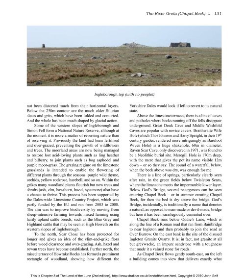
Ingleborough top (with no people!)<br />
<strong>The</strong> River Greta (Chapel Beck) ... 131<br />
Yorkshire Dales would look if left to revert to its natural<br />
state.<br />
Above <strong>the</strong> limestone terraces, <strong>the</strong>re is a line <strong>of</strong> caves<br />
and potholes where becks running <strong>of</strong>f <strong>the</strong> fells disappear<br />
underground. Great Douk Cave and Middle Washfold<br />
Caves are popular with novice cavers. Braithwaite Wife<br />
Hole (which Thos Johnson and Harry Speight, in <strong>the</strong>ir 19 th<br />
century guides, rendered more intriguingly as Barefoot<br />
Wives Hole) is a huge shakehole, 60m in diameter.<br />
Raven Scar Cave, only discovered in 1971, was found to<br />
be a Neolithic burial site. Meregill Hole is 170m deep,<br />
with <strong>the</strong> mere that gives <strong>the</strong> pot its name visible 12m<br />
down – or so <strong>the</strong>y say. <strong>The</strong> sound <strong>of</strong> a waterfall below,<br />
when <strong>the</strong> beck above was dry, was enough for me.<br />
<strong>The</strong>re is a line <strong>of</strong> springs, particularly clearly seen<br />
after rain, in <strong>the</strong> green fields below Twisleton Scars,<br />
where <strong>the</strong> limestone meets <strong>the</strong> impermeable lower layer.<br />
Below God’s Bridge, several resurgences can be seen<br />
entering Chapel Beck – or in summer creating Chapel<br />
Beck, for <strong>the</strong>n <strong>the</strong> bed is dry above <strong>the</strong> bridge. God’s<br />
Bridge, incidentally, is traditionally a name that denotes<br />
a natural, as opposed to man-made or devil-made, bridge<br />
but here it has been sacrilegiously cemented over.<br />
Chapel Beck runs below Oddie’s Lane, which is<br />
along <strong>the</strong> line <strong>of</strong> a Roman road that ran from Bainbridge<br />
to near Ingleton and <strong>the</strong>n probably to join <strong>the</strong> road at<br />
Over Burrow. On <strong>the</strong> east bank is <strong>the</strong> site <strong>of</strong> <strong>the</strong> disused<br />
Ingleton Granite Quarry. It is, in fact, not granite at all<br />
but greywacke, an impure sandstone with a toughness<br />
that made it a valued stone for roads.<br />
As Chapel Beck flows gently south-east, on <strong>the</strong> left<br />
a building comes into view that delivers exactly what<br />
This is Chapter 8 <strong>of</strong> <strong>The</strong> <strong>Land</strong> <strong>of</strong> <strong>the</strong> <strong>Lune</strong> (2nd edition), http://www.drakkar.co.uk/land<strong>of</strong><strong>the</strong>lune.html, Copyright © 2010 John Self

