


You also want an ePaper? Increase the reach of your titles
YUMPU automatically turns print PDFs into web optimized ePapers that Google loves.
10 <strong>The</strong> <strong>Land</strong> <strong>of</strong> <strong>the</strong> <strong>Lune</strong><br />
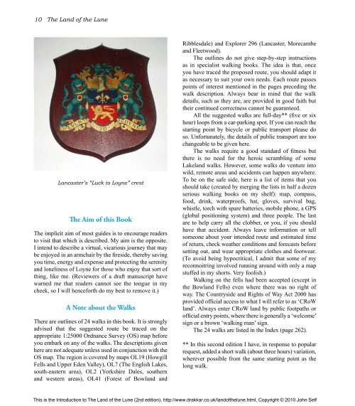
Lancaster’s “Luck to Loyne” crest<br />
<strong>The</strong> Aim <strong>of</strong> this Book<br />
<strong>The</strong> implicit aim <strong>of</strong> most guides is to encourage readers<br />
to visit that which is described. My aim is <strong>the</strong> opposite.<br />
I intend to describe a virtual, vicarious journey that may<br />
be enjoyed in an armchair by <strong>the</strong> fireside, <strong>the</strong>reby saving<br />
you time, energy and expense and protecting <strong>the</strong> serenity<br />
and loneliness <strong>of</strong> Loyne for those who enjoy that sort <strong>of</strong><br />
thing, like me. (Reviewers <strong>of</strong> a draft manuscript have<br />
warned me that readers cannot see <strong>the</strong> tongue in my<br />
cheek, so I will henceforth do my best to remove it.)<br />
A Note about <strong>the</strong> Walks<br />
<strong>The</strong>re are outlines <strong>of</strong> 24 walks in this book. It is strongly<br />
advised that <strong>the</strong> suggested route be traced on <strong>the</strong><br />
appropriate 1:25000 Ordnance Survey (OS) map before<br />
you embark on any <strong>of</strong> <strong>the</strong> walks. <strong>The</strong> descriptions given<br />
here are not adequate unless used in conjunction with <strong>the</strong><br />
OS map. <strong>The</strong> region is covered by maps OL19 (Howgill<br />
Fells and Upper Eden Valley), OL7 (<strong>The</strong> English Lakes,<br />
south-eastern area), OL2 (Yorkshire Dales, sou<strong>the</strong>rn<br />
and western areas), OL41 (Forest <strong>of</strong> Bowland and<br />
Ribblesdale) and Explorer 296 (Lancaster, Morecambe<br />
and Fleetwood).<br />
<strong>The</strong> outlines do not give step-by-step instructions<br />
as in specialist walking books. <strong>The</strong> idea is that, once<br />
you have traced <strong>the</strong> proposed route, you should adapt it<br />
as necessary to suit your own needs. Each route passes<br />
points <strong>of</strong> interest mentioned in <strong>the</strong> pages preceding <strong>the</strong><br />
walk description. Always bear in mind that <strong>the</strong> walk<br />
details, such as <strong>the</strong>y are, are provided in good faith but<br />
<strong>the</strong>ir continued correctness cannot be guaranteed.<br />
All <strong>the</strong> suggested walks are full-day** (five or six<br />
hour) loops from a car-parking spot. If you can reach <strong>the</strong><br />
starting point by bicycle or public transport please do<br />
so. Unfortunately, <strong>the</strong> details <strong>of</strong> public transport are too<br />
changeable to be given here.<br />
<strong>The</strong> walks require a good standard <strong>of</strong> fitness but<br />
<strong>the</strong>re is no need for <strong>the</strong> heroic scrambling <strong>of</strong> some<br />
Lakeland walks. However, some walks do venture into<br />
wild, remote areas and accidents can happen anywhere.<br />
To be on <strong>the</strong> safe side, here is a list <strong>of</strong> items that you<br />
should take (created by merging <strong>the</strong> lists in half a dozen<br />
serious walking books on my shelf): map, compass,<br />
food, drink, waterpro<strong>of</strong>s, hat, gloves, survival bag,<br />
whistle, torch with spare batteries, mobile phone, a GPS<br />
(global positioning system) and three people. <strong>The</strong> last<br />
are to help carry all <strong>the</strong> clobber, or you, if you should<br />
have that accident. Always leave information or tell<br />
someone about your intended route and estimated time<br />
<strong>of</strong> return, check wea<strong>the</strong>r conditions and forecasts before<br />
setting out, and wear appropriate clo<strong>the</strong>s and footwear.<br />
(To avoid being hypocritical, I admit that some <strong>of</strong> my<br />
reconnoitring involved running around with only a map<br />
stuffed in my shorts. Very foolish.)<br />
Walking on <strong>the</strong> fells had been accepted (except in<br />
<strong>the</strong> Bowland Fells) even where <strong>the</strong>re was no right <strong>of</strong><br />
way. <strong>The</strong> Countryside and Rights <strong>of</strong> Way Act 2000 has<br />
provided <strong>of</strong>ficial access to what I will refer to as ‘CRoW<br />
land’. Always enter CRoW land by public footpaths or<br />
<strong>of</strong>ficial entry points, where <strong>the</strong>re is generally a ‘welcome’<br />
sign or a brown ‘walking man’ sign.<br />
<strong>The</strong> 24 walks are listed in <strong>the</strong> Index (page 262).<br />
** In this second edition I have, in response to popular<br />
request, added a short walk (about three hours) variation,<br />
wherever possible from <strong>the</strong> same starting point as <strong>the</strong><br />
long walk.<br />
This is <strong>the</strong> Introduction to <strong>The</strong> <strong>Land</strong> <strong>of</strong> <strong>the</strong> <strong>Lune</strong> (2nd edition), http://www.drakkar.co.uk/land<strong>of</strong><strong>the</strong>lune.html, Copyright © 2010 John Self

