HEADING PAGE - port of ploce authority * welcome
HEADING PAGE - port of ploce authority * welcome
HEADING PAGE - port of ploce authority * welcome
Create successful ePaper yourself
Turn your PDF publications into a flip-book with our unique Google optimized e-Paper software.
ENVIRONMENTAL IMPACT STUDY<br />
Rn: 03-033 CONTAINER TERMINAL PLOCE <strong>PAGE</strong>: 2<br />
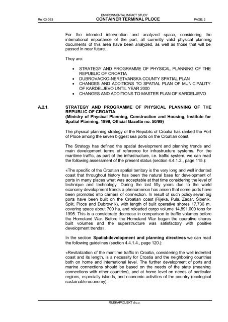
For the intended intervention and analyzed space, considering the<br />
international im<strong>port</strong>ance <strong>of</strong> the <strong>port</strong>, all currently valid physical planning<br />
documents <strong>of</strong> this area have been analyzed, as well as those that will be<br />
passed in near future.<br />
They are:<br />
• STRATEGY AND PROGRAMME OF PHYSICAL PLANNING OF THE<br />
REPUBLIC OF CROATIA<br />
• DUBROVACKO-NERETVANSKA COUNTY SPATIAL PLAN<br />
• CHANGES AND ADDITIONS TO SPATIAL PLAN OF MUNICIPALITY<br />
OF KARDELJEVO UNTIL YEAR 2000<br />
• CHANGES AND ADDITIONS TO MASTER PLAN OF KARDELJEVO<br />
A.2.1. STRATEGY AND PROGRAMME OF PHYSICAL PLANNING OF THE<br />
REPUBLIC OF CROATIA<br />
(Ministry <strong>of</strong> Physical Planning, Construction and Housing, Institute for<br />
Spatial Planning, 1999, Official Gazette no. 50/99)<br />
The physical planning strategy <strong>of</strong> the Republic <strong>of</strong> Croatia has ranked the Port<br />
<strong>of</strong> Ploce among the seven biggest sea <strong>port</strong>s on the Croatian coast.<br />
The Strategy has defined the spatial development and planning trends and<br />
main development terms <strong>of</strong> reference for infrastructure systems. For the<br />
maritime traffic, as part <strong>of</strong> the infrastructure, i.e. traffic system, we can read<br />
the following assessment <strong>of</strong> the present status (section 4.4.1.2., page 115.):<br />
«The specific <strong>of</strong> the Croatian spatial territory is the very long and well indented<br />
coast that throughout history has been the natural base for development <strong>of</strong><br />
<strong>port</strong>s in many places what was acceptable at that time considering the level <strong>of</strong><br />
technique and technology. During the last fifty years due to the world<br />
economy development trends a phenomenon has arisen that some <strong>port</strong>s have<br />
been promoted into carriers <strong>of</strong> connection. In result <strong>of</strong> such policy seven big<br />
<strong>port</strong>s have been built on the Croatian coast (Rijeka, Pula, Zadar, Šibenik,<br />
Split, Ploce and Dubrovnik), with length <strong>of</strong> built operative shores 17,736 m,<br />
covering space about 700 ha, and reloaded cargo volume 14,891.000 tons for<br />
1995. This is a considerate decrease in comparison to traffic volumes before<br />
the Homeland War. Before the Homeland War began the operative shores<br />
built volumes and the superstructure was satisfactory with positive<br />
development trends».<br />
In the section Spatial-development and planning directives we can read<br />
the following guidelines (section 4.4.1.4., page 120.):<br />
«Revitalization <strong>of</strong> the maritime traffic in Croatia, considering the well indented<br />
coast and its length, is a necessity for Croatia and the neighboring countries<br />
both on home and international level. The further development <strong>of</strong> <strong>port</strong>s and<br />
marine connections should be based on the needs <strong>of</strong> the state (meaning<br />
connections with other countries), and at home level on needs <strong>of</strong> particular<br />
regions, especially islands, and economic activities <strong>of</strong> the country (ecological<br />
sustainable economy).<br />
RIJEKAPROJEKT d.o.o.


