

COMMISSION
4FcEkUnlA
4FcEkUnlA

Create successful ePaper yourself
Turn your PDF publications into a flip-book with our unique Google optimized e-Paper software.
in-house as a means to more adequately capture useful data about trail conditions and<br />
sustainability while reducing subjectivity and increasing objectivity. The matrix assesses<br />
trails based on characteristics of design sustainability and tread condition. Within those two<br />
categories, multiple subcategories were developed that better capture what park resource<br />
managers want to know.<br />
The tread condition category contains subcategories<br />
such as whoops/break bumps, ruts and rills, compaction,<br />
etc. Generally, trails are traversed in a side-by-side<br />
while the assessor takes note of various tread and<br />
sustainability related issues on the trail using the Trail<br />
Rating Matrix Field Sheet. Data is entered into the Trail<br />
Rating Matrix and an overall rating score is provided.<br />
Each subcategory carries a specific weight determined<br />
by the resource managers. Category weights are based<br />
upon how much impact certain features have on a trail.<br />
For example, whoops on a trail are far less impactful<br />
than having sections of trail that are incised. Sections<br />
of trail that are incised cannot shed water, and thus<br />
continue to worsen over time. The results of the trail<br />
assessment are combined into an annual report that<br />
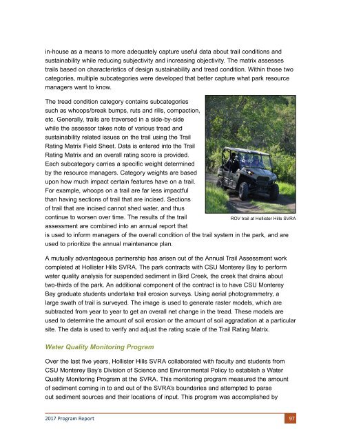
ROV trail at Hollister Hills SVRA<br />
is used to inform managers of the overall condition of the trail system in the park, and are<br />
used to prioritize the annual maintenance plan.<br />
A mutually advantageous partnership has arisen out of the Annual Trail Assessment work<br />
completed at Hollister Hills SVRA. The park contracts with CSU Monterey Bay to perform<br />
water quality analysis for suspended sediment in Bird Creek, the creek that drains about<br />
two-thirds of the park. An additional component of the contract is to have CSU Monterey<br />
Bay graduate students undertake trail erosion surveys. Using aerial photogrammetry, a<br />
large swath of trail is surveyed. The image is used to generate raster models, which are<br />
subtracted from year to year to get an overall net change in the tread. These models are<br />
used to determine the amount of soil erosion or the amount of soil aggradation at a particular<br />
site. The data is used to verify and adjust the rating scale of the Trail Rating Matrix.<br />
Water Quality Monitoring Program<br />
Over the last five years, Hollister Hills SVRA collaborated with faculty and students from<br />
CSU Monterey Bay’s Division of Science and Environmental Policy to establish a Water<br />
Quality Monitoring Program at the SVRA. This monitoring program measured the amount<br />
of sediment coming in to and out of the SVRA’s boundaries and attempted to parse<br />
out sediment sources and their locations of input. This program was accomplished by<br />
2017 Program Report 97