

COMMISSION
4FcEkUnlA
4FcEkUnlA

Create successful ePaper yourself
Turn your PDF publications into a flip-book with our unique Google optimized e-Paper software.
Condition of Natural and Cultural Resources at SVRAs<br />
This section provides an overview of cultural and natural resources at SVRAs and areas<br />
that receive OHV trust funds, followed by a description of major resource management<br />
programs at each park.<br />
Carnegie SVRA<br />
Located in the coastal hills of western San Joaquin and eastern Alameda Counties, the<br />
topography of Carnegie SVRA is steep, with several vegetation communities represented,<br />
including California annual grassland, blue oak, California sagebrush-black sage, and mule<br />
fat. The climate is Mediterranean with cool, wet<br />
winters and hot, dry summers.<br />
The park currently manages approximately 5,000<br />
acres. Approximately half of the area on the north<br />
side of the park is available for OHV recreation.<br />
Typically, this area consists of grasslands with<br />
more durable clay soils. Although these clay soils<br />
have been ridden on for several decades, years<br />
of observations and monitoring show few signs<br />
of excessive erosion or degradation. In the areas where damage is observed, restoration<br />
has been performed or planned for implementation. The south side of the SVRA contains<br />
sensitive habitats of the park, such as coastal scrub and oak woodland. The soils in these<br />
habitats are less stable and need vegetation to minimize erosion from storm water. The<br />
vegetation, once disturbed, can take several years to reestablish.<br />
The park is home to the federally listed threatened Alameda whipsnake, California redlegged<br />
frog, and California tiger salamander. Because of the presence of these listed<br />
species, along with the need to clean out sediment basins annually, several regulatory<br />
permits are required by both state and federal agencies.<br />
Monitoring Soil Erosion on Trails<br />
Carnegie SVRA has several miles of trails that<br />
accommodate motorcycles, ATVs, and emergency<br />
vehicles. SVRA staff use and improve upon evaluations<br />
from the Soil Standard to examine the degree of<br />
compaction (static, dynamic, or kneading), water travel<br />
(rilling, gullying, slope, berming, or whooping), soil<br />
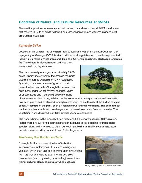
Using GPS equipment to collect soils data<br />
82<br />
California State Parks, Off-Highway Motor Vehicle Recreation Commission