

COMMISSION
4FcEkUnlA
4FcEkUnlA

Create successful ePaper yourself
Turn your PDF publications into a flip-book with our unique Google optimized e-Paper software.
Air Quality Studies and Monitoring<br />
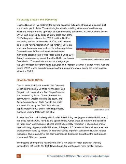
Oceano Dunes SVRA implemented several seasonal mitigation strategies to control dust<br />
and monitor particulates. These strategies include installing 40 acres of wind fencing<br />
within the riding area and operation of dust monitoring equipment. In 2014, Oceano Dunes<br />
SVRA staff installed 30 acres of straw bales east of the<br />
OHV riding area between the SVRA and the Cal Fire<br />
monitoring station. In the winter of 2014, staff restored<br />
six acres to native vegetation. In the winter of 2015, an<br />
additional five acres were restored to native vegetation.<br />
Oceano Dunes SVRA staff also installed a dust<br />
monitoring station south of Oso Flaco Lake in June 2015<br />
through an emergency permit from the California Coastal<br />
Commission. These efforts are part of a long-range<br />
Wind fencing at Oceano Dunes SVRA<br />
five-year mitigation program being evaluated in a Program EIR that is under review. Oceano<br />
Dunes SVRA is also considering options for a temporary project during the windy season<br />
within the SVRA.<br />
Ocotillo Wells SVRA<br />
Ocotillo Wells SVRA is located in the Colorado<br />
Desert approximately 90 miles northeast of San<br />
Diego in both Imperial and San Diego Counties.<br />
It is bordered by Salton City on the east, the<br />
community of Ocotillo Wells to the south, and<br />
Anza-Borrego Desert State Park to the north<br />
and west. Currently the District consists of<br />
approximately 85,000 acres, including property<br />
managed under a MOU with the BLM.<br />
Ocotillo Wells SVRA<br />
A majority of the park is designated for distributed riding use (approximately 49,640 acres),<br />
that does not limit OHV riding to any specific trails. Other areas of the park are classified<br />
as “trails only” (approximately 28,499 acres) where OHV recreation is allowed on official<br />
park trails only. Approximately 414 acres of the park, 0.5 percent of the total park area, are<br />
excluded from riding by fencing or other barricades to protect sensitive cultural or natural<br />
resources. The remainder of the park’s acreage is distributed throughout the park among<br />
private and BLM land parcels.<br />
The majority of the park is relatively flat with a few areas of relief. Elevation typically<br />
ranges from 131 feet to 787 feet. Seven broad, flat washes and many smaller arroyos<br />
106<br />
California State Parks, Off-Highway Motor Vehicle Recreation Commission