

COMMISSION
4FcEkUnlA
4FcEkUnlA

Create successful ePaper yourself
Turn your PDF publications into a flip-book with our unique Google optimized e-Paper software.
Clear Creek Management Area<br />
The Clear Creek Management Area (CCMA) consists of approximately 75,000 acres of<br />
mostly public land within the southern Diablo Mountains of Central California. It extends<br />
from southeastern San Benito County into western Fresno County. BLM manages<br />
63,000 acres of the public land within CCMA.<br />
The CCMA has been recognized as one of the top motorcycle trail riding areas in the<br />
nation. Hiking, mountain biking, rock-hounding, hunting, and camping are also popular<br />
activities at CCMA. In years past, CCMA received approximately 35,000 visitors annually.<br />
In 1984, the BLM designated 31,000 acres of CCMA as the Serpentine Area of Critical<br />
Environmental Concern (ACEC). This was based on the mapping of soils derived from<br />
the New Idria Serpentinite geologic inclusion and on perceived health concerns related<br />
to naturally occurring asbestos (NOA).<br />
Serpentinite may or may not contain<br />
asbestos—the terms are not synonymous.<br />
The name serpentinite is used because the<br />
metamorphic rock is mostly composed of the<br />
serpentine group of minerals—a collection of<br />
about 20 minerals with similar chemistry but<br />
varying micro-crystalline structures. Most of<br />
these minerals have a platy structure, which<br />
makes the rock feel smooth and waxy. A few<br />
of the minerals, such as chrysotile, appear<br />
fibrous because their internal structure is elongated and flexible. The fibrous serpentine<br />
minerals often appear as veins within serpentinite rock. This small subset of minerals is<br />
generically called asbestiform or asbestos. That said, the New Idria Serpentinite contains<br />
NOA, particularly in the eastern third of the ACEC, where the rock has been mined for the<br />
chrysotile it contains.<br />
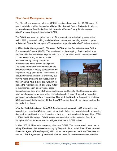
After the 1984 delineation of the ACEC, BLM produced maps with NOA information and<br />
posted signs regarding NOA exposure risk, which included recommendations for minimizing<br />
risk, such as avoiding the area during the hottest and driest months of the year. From 2006<br />
to 2008, the BLM managed CCMA using a seasonal closure that extended from June<br />
through mid-October as a means to mitigate NOA risk to CCMA visitors.<br />
In May 2008, BLM issued a temporary closure of CCMA. The closure was in response to<br />
a May 2008 health risk assessment study by Region 9 of the United States Environmental<br />
Protection Agency (EPA) (Region 9) which stated that exposure to NOA at CCMA was “of<br />
concern.” The Region 9 study examined NOA exposure for various recreational activities<br />
176<br />
California State Parks, Off-Highway Motor Vehicle Recreation Commission