

COMMISSION
4FcEkUnlA
4FcEkUnlA

You also want an ePaper? Increase the reach of your titles
YUMPU automatically turns print PDFs into web optimized ePapers that Google loves.
with a shortening of hydrological connections, two tactics outlined in this program. Special<br />
attention will be given to developing buffer zones near drainages by limiting trail density and<br />
soil disturbance within these areas to provide adequate bio-filtration (sediment control).<br />
The last completed RMA, Harrison Hill, took approximately seven months to complete, and<br />
has had an increase in vegetation, more storm water friendly trails, and a lower overall trail<br />
length (7,840 linear feet, compared to the previous 30,000 linear feet). The trail design was<br />
established using the Carnegie Advisory Team, which is a group of local enthusiasts that<br />
are well versed in enhancing the user experience.<br />
Monitoring Program Overview<br />
The following section provides an overview of natural resource monitoring programs that<br />
are part of the SVRA’s WHPP and HMS.<br />
Vegetation Monitoring<br />
In order to modernize vegetation survey<br />
techniques and to provide for a more robust<br />
and efficient vegetation monitoring program,<br />
the monitoring program was revised in 2014<br />
to rely on LiDAR (light detection and ranging)<br />
data. LiDAR is a remote sensing technology<br />
that measures distance by illuminating a<br />
target with a laser and analyzing the reflected<br />
light. Vegetation reflection data is collected<br />
that can provide information on vegetation<br />
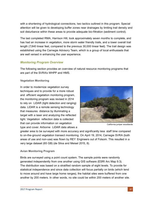
type and cover. Airborne LiDAR data allows a<br />
California juniper woodlands<br />
greater area to be surveyed with more accuracy and significantly less staff time compared<br />
to on-the-ground vegetation transect monitoring. On April 19, 2014, Carnegie SVRA (both<br />
areas of use and non-use) was flown by REY Engineers out of Folsom. This resulted in a<br />
very large dataset (65 GB) (de Silva and Meisel 2015, 8).<br />
Avian Monitoring Program<br />
Birds are surveyed using a point count system. The sample points were randomly<br />
generated independently from one another using GIS software (ESRI Arc Map 9.3).<br />
The distribution was based on a stratified random sample of eight levels. To provide for<br />
statistical independence and since data collection will focus partially on birds (which tend<br />
to move around and have large home ranges), the habitat sites were buffered from one<br />
another by 200 meters. In other words, no site could be within 200 meters of another site.<br />
2017 Program Report 87