Academic Calendar - Fisheries and Marine Institute - Memorial ...
Academic Calendar - Fisheries and Marine Institute - Memorial ...
Academic Calendar - Fisheries and Marine Institute - Memorial ...
Create successful ePaper yourself
Turn your PDF publications into a flip-book with our unique Google optimized e-Paper software.
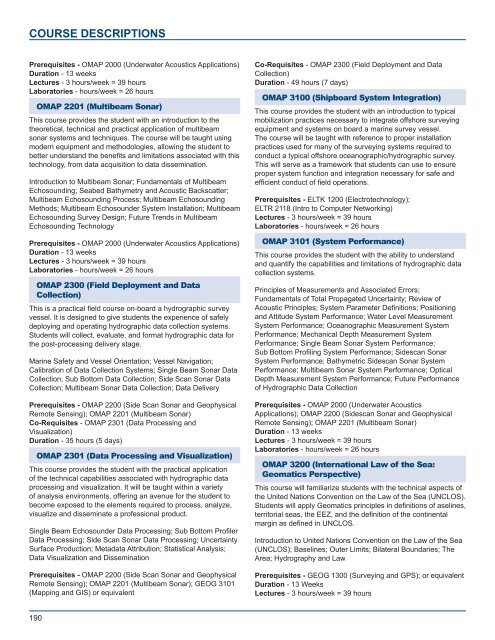
COURSE DESCRIPTIONS<br />
Prerequisites - OMAP 2000 (Underwater Acoustics Applications)<br />
Duration - 13 weeks<br />
Lectures - 3 hours/week = 39 hours<br />
Laboratories - hours/week = 26 hours<br />
OMAP 2201 (Multibeam Sonar)<br />
This course provides the student with an introduction to the<br />
theoretical, technical <strong>and</strong> practical application of multibeam<br />
sonar systems <strong>and</strong> techniques. The course will be taught using<br />
modern equipment <strong>and</strong> methodologies, allowing the student to<br />
better underst<strong>and</strong> the benefits <strong>and</strong> limitations associated with this<br />
technology, from data acquisition to data dissemination.<br />
Introduction to Multibeam Sonar; Fundamentals of Multibeam<br />
Echosounding; Seabed Bathymetry <strong>and</strong> Acoustic Backscatter;<br />
Multibeam Echosounding Process; Multibeam Echosounding<br />
Methods; Multibeam Echosounder System Installation; Multibeam<br />
Echosounding Survey Design; Future Trends in Multibeam<br />
Echosounding Technology<br />
Prerequisites - OMAP 2000 (Underwater Acoustics Applications)<br />
Duration - 13 weeks<br />
Lectures - 3 hours/week = 39 hours<br />
Laboratories - hours/week = 26 hours<br />
OMAP 2300 (Field Deployment <strong>and</strong> Data<br />
Collection)<br />
This is a practical field course on-board a hydrographic survey<br />
vessel. It is designed to give students the experience of safely<br />
deploying <strong>and</strong> operating hydrographic data collection systems.<br />
Students will collect, evaluate, <strong>and</strong> format hydrographic data for<br />
the post-processing delivery stage.<br />
<strong>Marine</strong> Safety <strong>and</strong> Vessel Orientation; Vessel Navigation;<br />
Calibration of Data Collection Systems; Single Beam Sonar Data<br />
Collection; Sub Bottom Data Collection; Side Scan Sonar Data<br />
Collection; Multibeam Sonar Data Collection; Data Delivery<br />
Prerequisites - OMAP 2200 (Side Scan Sonar <strong>and</strong> Geophysical<br />
Remote Sensing); OMAP 2201 (Multibeam Sonar)<br />
Co-Requisites - OMAP 2301 (Data Processing <strong>and</strong><br />
Visualization)<br />
Duration - 35 hours (5 days)<br />
OMAP 2301 (Data Processing <strong>and</strong> Visualization)<br />
This course provides the student with the practical application<br />
of the technical capabilities associated with hydrographic data<br />
processing <strong>and</strong> visualization. It will be taught within a variety<br />
of analysis environments, offering an avenue for the student to<br />
become exposed to the elements required to process, analyze,<br />
visualize <strong>and</strong> disseminate a professional product.<br />
Single Beam Echosounder Data Processing; Sub Bottom Profiler<br />
Data Processing; Side Scan Sonar Data Processing; Uncertainty<br />
Surface Production; Metadata Attribution; Statistical Analysis;<br />
Data Visualization <strong>and</strong> Dissemination<br />
Prerequisites - OMAP 2200 (Side Scan Sonar <strong>and</strong> Geophysical<br />
Remote Sensing); OMAP 2201 (Multibeam Sonar); GEOG 3101<br />
(Mapping <strong>and</strong> GIS) or equivalent<br />
Co-Requisites - OMAP 2300 (Field Deployment <strong>and</strong> Data<br />
Collection)<br />
Duration - 49 hours (7 days)<br />
OMAP 3100 (Shipboard System Integration)<br />
This course provides the student with an introduction to typical<br />
mobilization practices necessary to integrate offshore surveying<br />
equipment <strong>and</strong> systems on board a marine survey vessel.<br />
The course will be taught with reference to proper installation<br />
practices used for many of the surveying systems required to<br />
conduct a typical offshore oceanographic/hydrographic survey.<br />
This will serve as a framework that students can use to ensure<br />
proper system function <strong>and</strong> integration necessary for safe <strong>and</strong><br />
efficient conduct of field operations.<br />
Prerequisites - ELTK 1200 (Electrotechnology);<br />
ELTR 2118 (Intro to Computer Networking)<br />
Lectures - 3 hours/week = 39 hours<br />
Laboratories - hours/week = 26 hours<br />
OMAP 3101 (System Performance)<br />
This course provides the student with the ability to underst<strong>and</strong><br />
<strong>and</strong> quantify the capabilities <strong>and</strong> limitations of hydrographic data<br />
collection systems.<br />
Principles of Measurements <strong>and</strong> Associated Errors;<br />
Fundamentals of Total Propagated Uncertainty; Review of<br />
Acoustic Principles; System Parameter Definitions; Positioning<br />
<strong>and</strong> Attitude System Performance; Water Level Measurement<br />
System Performance; Oceanographic Measurement System<br />
Performance; Mechanical Depth Measurement System<br />
Performance; Single Beam Sonar System Performance;<br />
Sub Bottom Profiling System Performance; Sidescan Sonar<br />
System Performance; Bathymetric Sidescan Sonar System<br />
Performance; Multibeam Sonar System Performance; Optical<br />
Depth Measurement System Performance; Future Performance<br />
of Hydrographic Data Collection<br />
Prerequisites - OMAP 2000 (Underwater Acoustics<br />
Applications); OMAP 2200 (Sidescan Sonar <strong>and</strong> Geophysical<br />
Remote Sensing); OMAP 2201 (Multibeam Sonar)<br />
Duration - 13 weeks<br />
Lectures - 3 hours/week = 39 hours<br />
Laboratories - hours/week = 26 hours<br />
OMAP 3200 (International Law of the Sea:<br />
Geomatics Perspective)<br />
This course will familiarize students with the technical aspects of<br />
the United Nations Convention on the Law of the Sea (UNCLOS).<br />
Students will apply Geomatics principles in definitions of aselines,<br />
territorial seas, the EEZ, <strong>and</strong> the definition of the continental<br />
margin as defined in UNCLOS.<br />
Introduction to United Nations Convention on the Law of the Sea<br />
(UNCLOS); Baselines; Outer Limits; Bilateral Boundaries; The<br />
Area; Hydrography <strong>and</strong> Law<br />
Prerequisites - GEOG 1300 (Surveying <strong>and</strong> GPS); or equivalent<br />
Duration - 13 Weeks<br />
Lectures - 3 hours/week = 39 hours<br />
190


