Leica TPS1200 System Field Manual
Leica TPS1200 System Field Manual
Leica TPS1200 System Field Manual
- No tags were found...
Create successful ePaper yourself
Turn your PDF publications into a flip-book with our unique Google optimized e-Paper software.
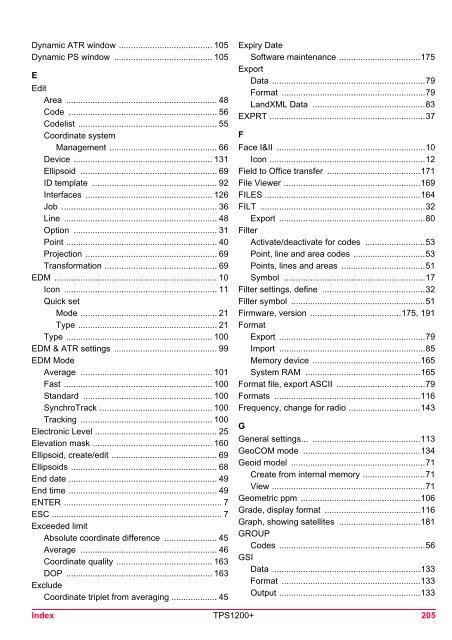
Dynamic ATR window ....................................... 105Dynamic PS window ......................................... 105EEditArea ............................................................... 48Code .............................................................. 56Codelist .......................................................... 55Coordinate systemManagement ............................................. 66Device .......................................................... 131Ellipsoid ......................................................... 69ID template .................................................... 92Interfaces ..................................................... 126Job ................................................................. 36Line ................................................................ 48Option ............................................................ 31Point ............................................................... 40Projection ....................................................... 69Transformation ............................................... 69EDM .................................................................... 10Icon ................................................................ 11Quick setMode ......................................................... 21Type .......................................................... 21Type ............................................................. 100EDM & ATR settings ........................................... 99EDM ModeAverage ....................................................... 101Fast .............................................................. 100Standard ...................................................... 100SynchroTrack ............................................... 100Tracking ....................................................... 100Electronic Level ................................................... 25Elevation mask .................................................. 160Ellipsoid, create/edit ............................................ 69Ellipsoids ............................................................. 68End date .............................................................. 49End time .............................................................. 49ENTER .................................................................. 7ESC ....................................................................... 7Exceeded limitAbsolute coordinate difference ...................... 45Average ......................................................... 46Coordinate quality ........................................ 163DOP ............................................................. 163ExcludeCoordinate triplet from averaging ................... 45Expiry DateSoftware maintenance ..................................175ExportData ................................................................79Format ............................................................79LandXML Data ...............................................83EXPRT .................................................................37FFace I&II ..............................................................10Icon .................................................................12<strong>Field</strong> to Office transfer .......................................171File Viewer .........................................................169FILES .................................................................164FILT .....................................................................32Export .............................................................80FilterActivate/deactivate for codes .........................53Point, line and area codes ..............................53Points, lines and areas ...................................51Symbol ...........................................................17Filter settings, define ...........................................32Filter symbol ........................................................51Firmware, version ......................................175, 191FormatExport .............................................................79Import .............................................................85Memory device .............................................165<strong>System</strong> RAM ................................................165Format file, export ASCII .....................................79Formats .............................................................116Frequency, change for radio ..............................143GGeneral settings... .............................................113GeoCOM mode .................................................134Geoid model ........................................................71Create from internal memory ..........................71View ................................................................71Geometric ppm ..................................................106Grade, display format ........................................116Graph, showing satellites ..................................181GROUPCodes .............................................................56GSIData ..............................................................133Format ..........................................................133Output ...........................................................133Index <strong>TPS1200</strong>+ 205


