Covington, Kentucky Zoning Ordinance - The City of Covington
Covington, Kentucky Zoning Ordinance - The City of Covington
Covington, Kentucky Zoning Ordinance - The City of Covington

You also want an ePaper? Increase the reach of your titles
YUMPU automatically turns print PDFs into web optimized ePapers that Google loves.
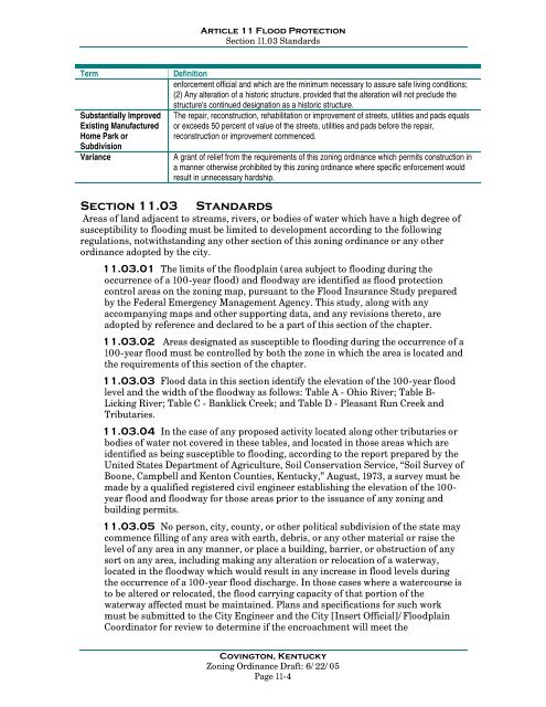
Article 11 Flood ProtectionSection 11.03 StandardsTermSubstantially ImprovedExisting ManufacturedHome Park orSubdivisionVarianceDefinitionenforcement <strong>of</strong>ficial and which are the minimum necessary to assure safe living conditions;(2) Any alteration <strong>of</strong> a historic structure, provided that the alteration will not preclude thestructure's continued designation as a historic structure.<strong>The</strong> repair, reconstruction, rehabilitation or improvement <strong>of</strong> streets, utilities and pads equalsor exceeds 50 percent <strong>of</strong> value <strong>of</strong> the streets, utilities and pads before the repair,reconstruction or improvement commenced.A grant <strong>of</strong> relief from the requirements <strong>of</strong> this zoning ordinance which permits construction ina manner otherwise prohibited by this zoning ordinance where specific enforcement wouldresult in unnecessary hardship.Section 11.03StandardsAreas <strong>of</strong> land adjacent to streams, rivers, or bodies <strong>of</strong> water which have a high degree <strong>of</strong>susceptibility to flooding must be limited to development according to the followingregulations, notwithstanding any other section <strong>of</strong> this zoning ordinance or any otherordinance adopted by the city.11.03.01 <strong>The</strong> limits <strong>of</strong> the floodplain (area subject to flooding during theoccurrence <strong>of</strong> a 100-year flood) and floodway are identified as flood protectioncontrol areas on the zoning map, pursuant to the Flood Insurance Study preparedby the Federal Emergency Management Agency. This study, along with anyaccompanying maps and other supporting data, and any revisions thereto, areadopted by reference and declared to be a part <strong>of</strong> this section <strong>of</strong> the chapter.11.03.02 Areas designated as susceptible to flooding during the occurrence <strong>of</strong> a100-year flood must be controlled by both the zone in which the area is located andthe requirements <strong>of</strong> this section <strong>of</strong> the chapter.11.03.03 Flood data in this section identify the elevation <strong>of</strong> the 100-year floodlevel and the width <strong>of</strong> the floodway as follows: Table A - Ohio River; Table B-Licking River; Table C - Banklick Creek; and Table D - Pleasant Run Creek andTributaries.11.03.04 In the case <strong>of</strong> any proposed activity located along other tributaries orbodies <strong>of</strong> water not covered in these tables, and located in those areas which areidentified as being susceptible to flooding, according to the report prepared by theUnited States Department <strong>of</strong> Agriculture, Soil Conservation Service, “Soil Survey <strong>of</strong>Boone, Campbell and Kenton Counties, <strong>Kentucky</strong>,” August, 1973, a survey must bemade by a qualified registered civil engineer establishing the elevation <strong>of</strong> the 100-year flood and floodway for those areas prior to the issuance <strong>of</strong> any zoning andbuilding permits.11.03.05 No person, city, county, or other political subdivision <strong>of</strong> the state maycommence filling <strong>of</strong> any area with earth, debris, or any other material or raise thelevel <strong>of</strong> any area in any manner, or place a building, barrier, or obstruction <strong>of</strong> anysort on any area, including making any alteration or relocation <strong>of</strong> a waterway,located in the floodway which would result in any increase in flood levels duringthe occurrence <strong>of</strong> a 100-year flood discharge. In those cases where a watercourse isto be altered or relocated, the flood carrying capacity <strong>of</strong> that portion <strong>of</strong> thewaterway affected must be maintained. Plans and specifications for such workmust be submitted to the <strong>City</strong> Engineer and the <strong>City</strong> [Insert Official]/FloodplainCoordinator for review to determine if the encroachment will meet the<strong>Covington</strong>, <strong>Kentucky</strong><strong>Zoning</strong> <strong>Ordinance</strong> Draft: 6/22/05Page 11-4