Hurricanes: Their Nature and Impacts on Society - Climate Science ...
Hurricanes: Their Nature and Impacts on Society - Climate Science ...
Hurricanes: Their Nature and Impacts on Society - Climate Science ...
You also want an ePaper? Increase the reach of your titles
YUMPU automatically turns print PDFs into web optimized ePapers that Google loves.
HURRICANE IMPACTS<br />
5.2.2 Storm surge analysis<br />
121<br />
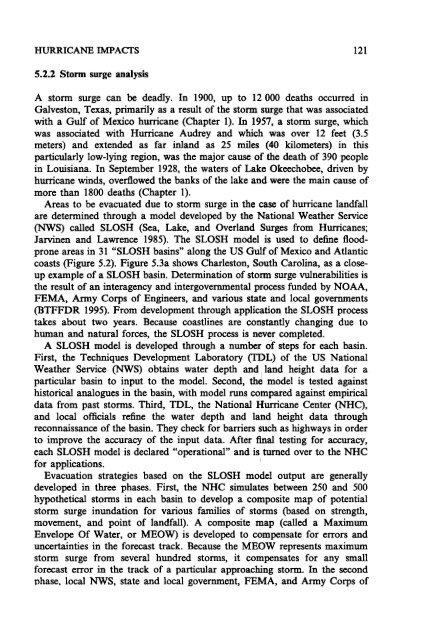
A storm surge can be deadly. In 1900, up to 12000 deaths occurred in<br />
Galvest<strong>on</strong>, Texas, primarily as a result of the storm surge that was associated<br />
with a Gulf of Mexico hurricane (Chapter 1). In 1957, a storm surge, which<br />
was associated with Hurricane Audrey <str<strong>on</strong>g>and</str<strong>on</strong>g> which was over 12 feet (3.5<br />
meters) <str<strong>on</strong>g>and</str<strong>on</strong>g> extended as far inl<str<strong>on</strong>g>and</str<strong>on</strong>g> as 25 miles (40 kilometers) in this<br />
particularly low-lying regi<strong>on</strong>, was the major cause of the death of 390 people<br />
in Louisiana. In September 1928, the waters of Lake Okeechobee, driven by<br />
hurricane winds, overflowed the banks of the lake <str<strong>on</strong>g>and</str<strong>on</strong>g> were the main cause of<br />
more than 1800 deaths (Chapter 1).<br />
Areas to be evacuated due to storm surge in the case of hurricane l<str<strong>on</strong>g>and</str<strong>on</strong>g>fall<br />
are determined through a model developed by the Nati<strong>on</strong>al Weather Service<br />
(NWS) called SLOSH (Sea, Lake, <str<strong>on</strong>g>and</str<strong>on</strong>g> Overl<str<strong>on</strong>g>and</str<strong>on</strong>g> Surges from <str<strong>on</strong>g>Hurricanes</str<strong>on</strong>g>;<br />
Jarvinen <str<strong>on</strong>g>and</str<strong>on</strong>g> Lawrence 1985). The SLOSH model is used to define floodpr<strong>on</strong>e<br />
areas in 31 "SLOSH basins" al<strong>on</strong>g the US Gulf of Mexico <str<strong>on</strong>g>and</str<strong>on</strong>g> Atlantic<br />
coasts (Figure 5.2). Figure 5.3a shows Charlest<strong>on</strong>, South Carolina, as a closeup<br />
example of a SLOSH basin. Determinati<strong>on</strong> of storm surge vulnerabilities is<br />
the result of an interagency <str<strong>on</strong>g>and</str<strong>on</strong>g> intergovernmental process funded by NOAA,<br />
FEMA, Army Corps of Engineers, <str<strong>on</strong>g>and</str<strong>on</strong>g> various state <str<strong>on</strong>g>and</str<strong>on</strong>g> local governments<br />
(BTFFDR 1995). From development through applicati<strong>on</strong> the SLOSH process<br />
takes about two years. Because coastlines are c<strong>on</strong>stantly changing due to<br />
human <str<strong>on</strong>g>and</str<strong>on</strong>g> natural forces, the SLOSH process is never completed.<br />
A SLOSH model is developed through a number of steps for each basin.<br />
First, the Techniques Development Laboratory (TI])L) of the US Nati<strong>on</strong>al<br />
Weather Service (NWS) obtains water depth <str<strong>on</strong>g>and</str<strong>on</strong>g> I l<str<strong>on</strong>g>and</str<strong>on</strong>g> height data for a<br />
particular basin to input to the model. Sec<strong>on</strong>d, the model is tested against<br />
historical analogues in the basin, with model runs compared against empirical<br />
data from past storms. Third, TDL, the Nati<strong>on</strong>al Hurricane Center (NHC),<br />
<str<strong>on</strong>g>and</str<strong>on</strong>g> local officials refine the water depth <str<strong>on</strong>g>and</str<strong>on</strong>g> l<str<strong>on</strong>g>and</str<strong>on</strong>g> height data through<br />
rec<strong>on</strong>naissance of the basin. They check for barriers such as highways in order<br />
to improve the accuracy of the input data. Mter final testing for accuracy,<br />
each SLOSH model is declared "operati<strong>on</strong>al" <str<strong>on</strong>g>and</str<strong>on</strong>g> is turned over to the NHC<br />
for applicati<strong>on</strong>s. I<br />
Evacuati<strong>on</strong> strategies based <strong>on</strong> the SLOSH model output are generally<br />
developed in three phases. First, the NHC simulates between 250 <str<strong>on</strong>g>and</str<strong>on</strong>g> 500<br />
hypothetical storms in each basin to develop a composite map of potential<br />
storm surge inundati<strong>on</strong> for various families of storms (based <strong>on</strong> strength,<br />
movement, <str<strong>on</strong>g>and</str<strong>on</strong>g> point of l<str<strong>on</strong>g>and</str<strong>on</strong>g>fall). A composite map (called a Maximum<br />
Envelope Of Water, or MEOW) is developed to compensate for errors <str<strong>on</strong>g>and</str<strong>on</strong>g><br />
uncertainties in the forecast track. Because the MEOW represents maximum<br />
storm surge from several hundred storms, it compensates for any small<br />
forecast error in the track of a particular approaching storm. In the sec<strong>on</strong>d<br />
phase. local NWS, state <str<strong>on</strong>g>and</str<strong>on</strong>g> local government, FEMA, <str<strong>on</strong>g>and</str<strong>on</strong>g> Army Corps of


