2. Mangatawa catchment consents for earthworks, storm water ...
2. Mangatawa catchment consents for earthworks, storm water ...
2. Mangatawa catchment consents for earthworks, storm water ...
- No tags were found...
You also want an ePaper? Increase the reach of your titles
YUMPU automatically turns print PDFs into web optimized ePapers that Google loves.
NZ Transport Agency and Tauranga City Council<br />
<strong>Mangatawa</strong> Drain Flood Bypass and TEM Storm<strong>water</strong> AEE<br />
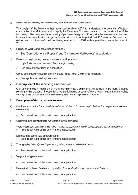
c) When will the activity be undertaken, and <strong>for</strong> how long will it occur:<br />
The design of the Motorway has advanced to allow NZTA to understand the potential effects of<br />
constructing the Motorway and to apply <strong>for</strong> Resource Consents related to the construction of the<br />
Motorway. The next step is to develop Specimen Design and Principal’s Requirements to be used<br />
in a contract specification to go to tender with. It is anticipated that if Resource Consents are<br />
gained and funding confirmed, tendering may occur in 2009 with a possible construction start in<br />
2010.<br />
d) Proposed works and construction methods:<br />
• See “Description of the Proposal” and “Construction Methodology” in application.<br />
e) Details of engineering design associated with proposal:<br />
(include calculations and plans if appropriate)<br />
• See project description in application<br />
f) Cross sections/long sections of any cut/full areas over <strong>2.</strong>0 metres in height:<br />
• See application and appendices<br />
2 Description of the receiving environment<br />
Our environment is made up of many components. Completing this section helps identify issues<br />
relating to the proposal. Please describe the following aspects of the environment in the immediate<br />
vicinity of the proposal and locate/identify them on a map where practical.<br />
<strong>2.</strong>1 Description of the natural environment<br />
a) Geology and soils (described in detail to at least 1 metre depth below the expected maximum<br />
excavation):<br />
• See description of the environment in application<br />
b) Upstream and Downstream Catchment characteristics:<br />
Watercourses/Coastal Marine Area (name, size, proximity to proposal, perennial or ephemeral):<br />
• See description of the environment in application<br />
Drainage patterns/size of <strong>catchment</strong>s:<br />
• See description of the environment in application<br />
c) Topography (identify sloping areas, gullies, steep erodible features):<br />
• See description of the environment in application<br />
d) Vegetation types/values:<br />
• See description of the environment in application<br />
e) Ecological features (including vegetation type and extent, the presence of fauna):<br />
• See description of the environment in application<br />
Status: Final Page 17 April 2009<br />
Project Number: 3932036<br />
NZ1-1552092-<strong>Mangatawa</strong> Drain Flood Bypass and TEM Storm<strong>water</strong> AEE


